


25 km | 29 km-effort


User


FREE GPS app for hiking
 SityTrail
IGN / Geographical institutes
SityTrail World
The world is yours!
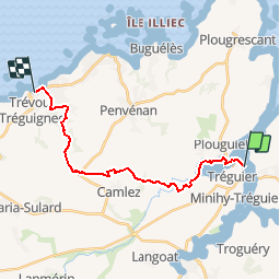
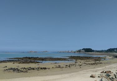
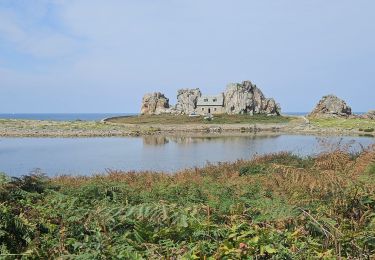
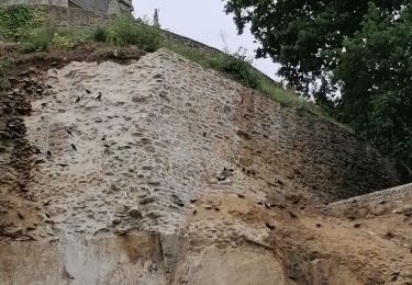
Trail Walking of 16.8 km to be discovered at Brittany, Côtes-d'Armor, Tréguier. This trail is proposed by tracegps.
Cette randonnée est la première étape d'un circuit en boucle relativement facile de 4 jours. Ce circuit convient à de bons marcheurs qui veulent débuter en randonnée itinérante. Trace préparée sur un logiciel cartographique. Il risque d'y avoir quelques écarts par rapport au terrain. Autour de Tréguier Etape N°1 Départ du port de Tréguier (attention, ne pas se garer côté ville, consulter les panneaux de stationnement). Départ balisage GR. Au niveau d'une esplanade sur un grand méandre en amont du pont St François, quitter le GR, balisage PR à gauche sur une petite route. Après avoir obliqué à gauche avant un vieux viaduc, laisser un PR partir à droite et prendre le PR à gauche qui descend vers le Guindy. Peu après le passage de la D 74, laisser le PR filer à droite et continuer tout droit ( pas de balisage ). A Kergoniou, après avoir pris à gauche un chemin dans les champs, prendre le chemin à droite avant la haie. Au niveau de Pen Prat, on récupère un tracé PR venu d' en face que l' on suit sur la droite. On arrive sur la plage et on prend à gauche. Il existe 2 hôtels et des chambres d'hôtes à Trévou-Tréguignec.


Electric bike
Electric bike
Electric bike
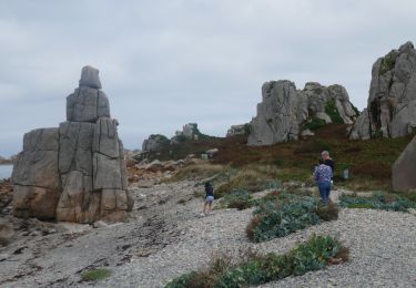
![Trail Walking Plouguiel - 22]04]24GR34 - Photo](https://media.geolcdn.com/t/375/260/ext.jpg?maxdim=2&url=https%3A%2F%2Fmedia.geolcdn.com%2Ff%2Fde3af199-c8f0-45a3-a376-dd6d46d6ca84.jpg)
Walking
Walking
Walking
Walking
Walking