


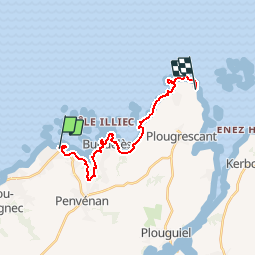


22 km | 26 km-effort

User


FREE GPS app for hiking
 SityTrail
IGN / Geographical institutes
SityTrail World
The world is yours!
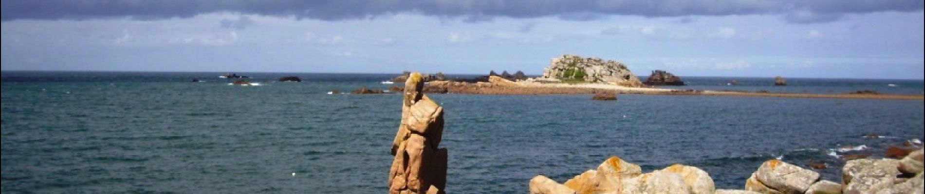
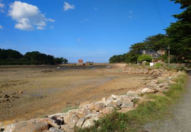
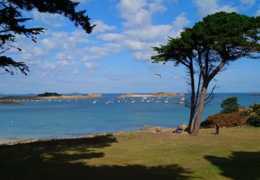
Trail Walking of 16.5 km to be discovered at Brittany, Côtes-d'Armor, Penvénan. This trail is proposed by tracegps.
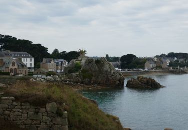
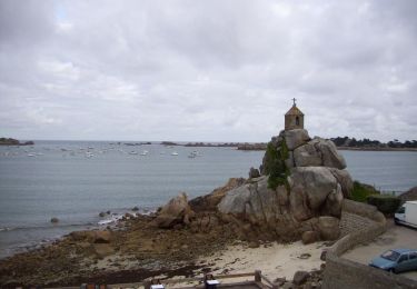
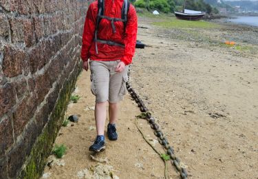
AUTOUR DE TREGUIER Etape N°3 PORT BLANC-PLOUGRESCANT Cette randonnée est la troisième d' un circuit en boucle relativement facile de 4 jours. Ce circuit convient à de bons marcheurs qui veulent débuter en randonnée itinérante. Trace préparée sur un logiciel cartographique. Il risque d'y avoir quelques écarts par rapport au terrain. Suivre le GR. A Pellinec 2 possibilités: si la mer n' est pas trop haute on peut raccourcir en suivant le GR à gauche. Sinon continuer la route sur un PR qui contourne la vallée. On quitte le PR qui part à droite pour rejoindre le GR à Placen Amic. On suit alors le GR jusqu' à Pors Hir. Au niveau de l' ile Istan, le passage peut être recouvert par la mer à marée haute. Chambres d' hôtes à Pors Hir ( 02 96 92 52 14 ).


Walking
Walking
Walking
Electric bike
Walking
Walking
Walking
Walking
Walking