


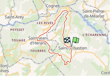

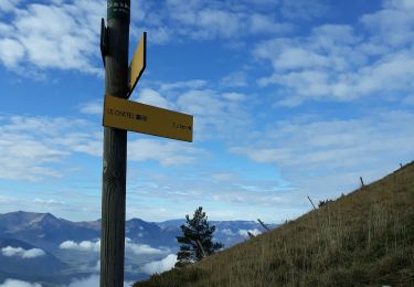
10.3 km | 24 km-effort


User


FREE GPS app for hiking
 SityTrail
IGN / Geographical institutes
SityTrail World
The world is yours!
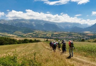
Trail Mountain bike of 14.6 km to be discovered at Auvergne-Rhône-Alpes, Isère, Châtel-en-Trièves. This trail is proposed by tracegps.
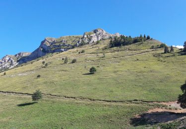
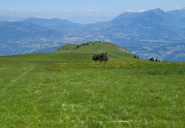
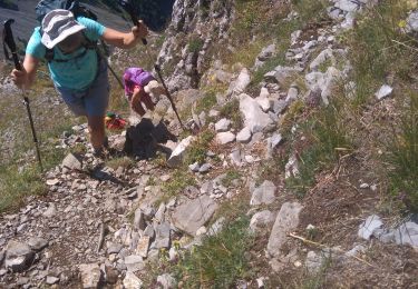
Circuit n°13 (rouge) de la base VTT FFCT du Trièves. Ce circuit combine plaisir et effort physique. Les petits raidillons sont récompensés par des descentes ludiques et techniques, des passages roulant sur pistes forestières ou au milieu des prairies, mais aussi de superbes vue sur la vallée du Drac, les contreforts et le plateau du Trièves.
Walking
Walking
Walking
Walking
Walking
Walking

Walking

Walking

Walking