


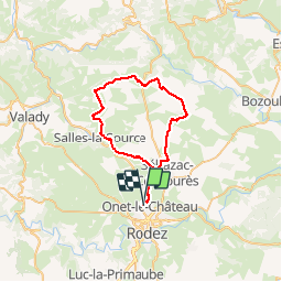
Onet - Mondalazac - Onet

tracegps
User

Length
45 km

Max alt
610 m

Uphill gradient
573 m
Km-Effort
52 km

Min alt
507 m

Downhill gradient
566 m
Boucle
No
Creation date :
2014-12-10 00:00:00.0
Updated on :
2014-12-10 00:00:00.0
4h00
Difficulty : Difficult

FREE GPS app for hiking
 SityTrail
IGN / Geographical institutes
SityTrail Plus
The world is yours!
About
Trail Mountain bike of 45 km to be discovered at Occitania, Aveyron, Onet-le-Château. This trail is proposed by tracegps.
Description
Une balade sur le causse avec de belles panoramiques. Terrain pouvant être très gras en cas de pluie dans la semaine. Attention les 4 h sont sans temps d'arrêt. Bonne balade a vous.
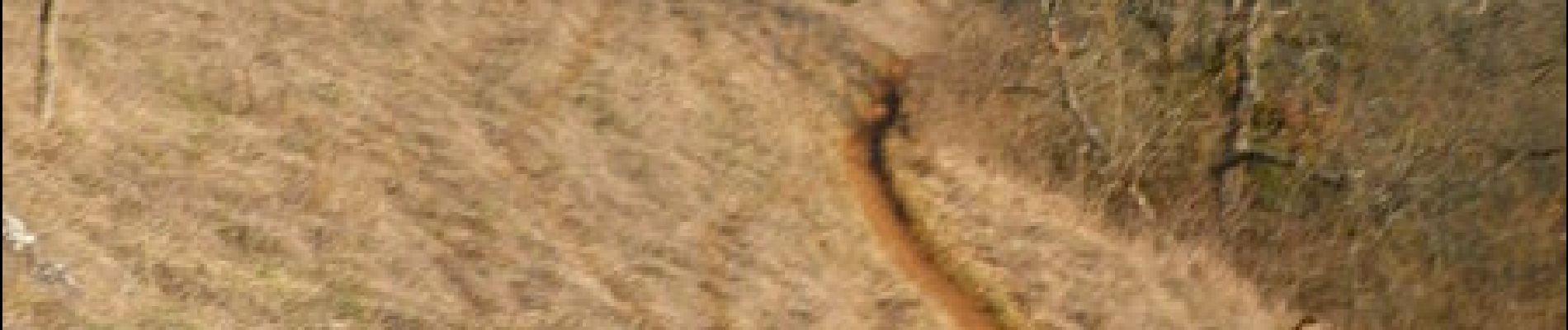
Photos


Positioning
Country:
France
Region :
Occitania
Department/Province :
Aveyron
Municipality :
Onet-le-Château
Location:
Unknown
Start:(Dec)
Start:(UTM)
465691 ; 4913910 (31T) N.
Comments
Franchement je suis assez satisfait. Le GPS m'a été fort utile et les petits chemins très précis. Bref un vttiste satisfait
Grand tour