


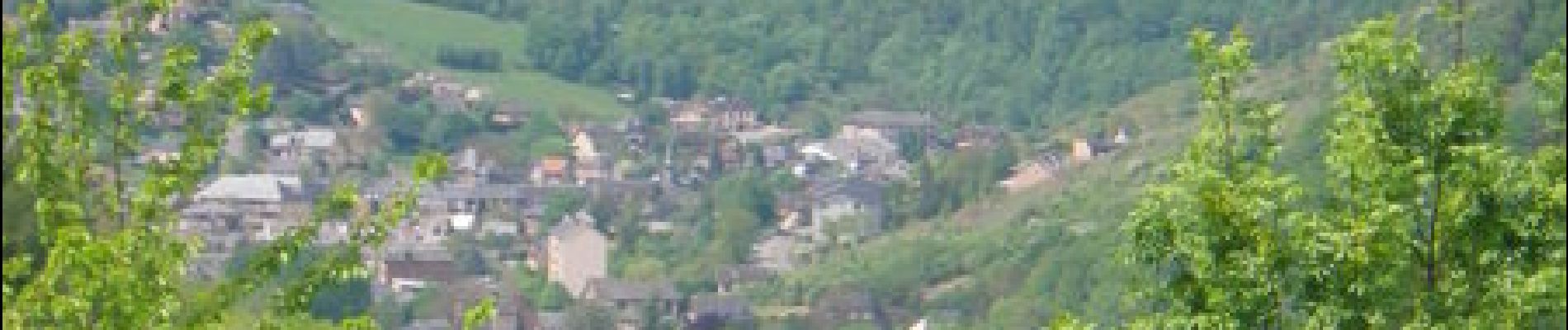
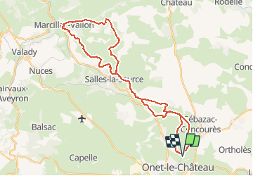
Randonnée VTT boucle d'Onet le Château à Macillac

tracegps
User


5h40
Difficulty : Difficult

FREE GPS app for hiking
 SityTrail
IGN / Geographical institutes
SityTrail Plus
The world is yours!
About
Trail Mountain bike of 39 km to be discovered at Occitania, Aveyron, Onet-le-Château. This trail is proposed by tracegps.
Description
Une boucle au départ d’Onet le Château. Faire attention à certains passages qui sont très étroits. Pour le ravitaillement prévoir d’arriver sur Marcillac avant 12 h sauf le dimanche où c’est le jour de marché. A Solsac vous avez la possibilité de basculer sur le circuit Onet - Mondalazac - Onet en le faisant en sens inverse mais attention à la distance. Bonne balade a vous tous
Photos


Positioning
Comments
