Granges Ranguin Mont d'Or

reneperrin
User
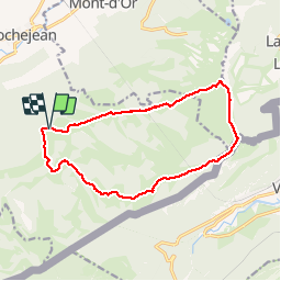

Length
13.6 km

Max alt
1451 m

Uphill gradient
416 m
Km-Effort
19.1 km

Min alt
1143 m

Downhill gradient
414 m
Boucle
Yes
Creation date :
2019-01-15 18:17:13.717
Updated on :
2019-01-15 18:17:13.717
3h45
Difficulty : Easy

FREE GPS app for hiking
 SityTrail
IGN / Geographical institutes
SityTrail Plus
The world is yours!
About
Trail Walking of 13.6 km to be discovered at Bourgogne-Franche-Comté, Doubs, Rochejean. This trail is proposed by reneperrin.
Description
boucle retour par la petite échelle
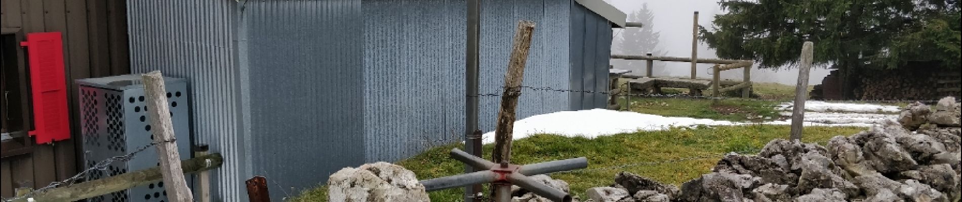
Photos

Positioning
Country:
France
Region :
Bourgogne-Franche-Comté
Department/Province :
Doubs
Municipality :
Rochejean
Location:
Unknown
Start:(Dec)
Start:(UTM)
293751 ; 5178138 (32T) N.
Comments