


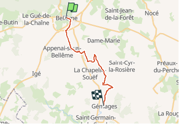

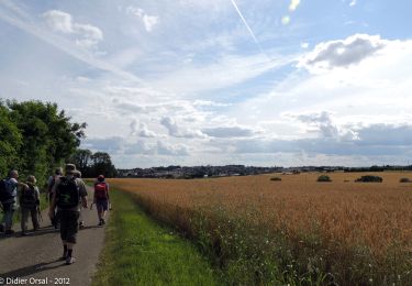
9.3 km | 11.8 km-effort


Un maillage d'une centaine de parcours pour composer à la carte sa randonnée itinérante percheronne.


FREE GPS app for hiking
 SityTrail
IGN / Geographical institutes
SityTrail World
The world is yours!
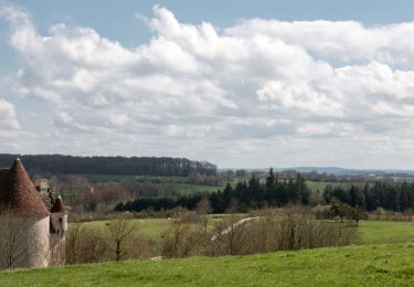
Trail Walking of 15.4 km to be discovered at Normandy, Orne, Bellême. This trail is proposed by Traversées Percheronnes.
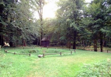
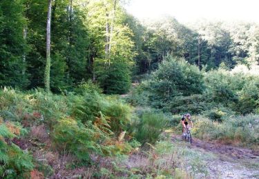
""Traversées Percheronnes" vous propose près de 105 randonnées linéaires organisées en mailles sur le territoire du grand Perche.
Pour chaque ville ou village étape, nous vous proposons des destinations pouvant être atteintes à pied ou à VTT.
Vous pouvez ainsi composer votre randonnée itinérante à la carte selon le nombre de jours dont vous disposez.... Et des capacités d'hébergement (possibilité de négocier un "taxi" auprès de certaines chambres d’hôtes).
Les topos guides détaillés sont disponible sur le blog de Traversées Percheronnes, hébergé par IGNRando
Site Web : https://ignrando.fr/fr/customer/communaute/index/"


Walking
Mountain bike

Road bike
On foot

Electric bike
Walking
Walking

Walking

Walking