Trail Mountain bike Guise - VTT autour de Guise - Photo

VTT autour de Guise

 tracegps
tracegps

User

© OpenStreetMap contributors
Length
Length
61 km
Max alt
Max alt
180 m
Uphill gradient
Uphill gradient
723 m
Km-Effort
Km-Effort  
70 km
Min alt
Min alt
81 m
Downhill gradient
Downhill gradient
726 m
Boucle
Boucle
Yes
Creation date :
2014-12-10 00:00:00.0
Updated on :
2014-12-10 00:00:00.0

(0 Reviews)

Mountain bike
Mountain bike
3h00
Difficulty : Medium

Scan this QR Code to open this trail in the SityTrail application

FREE GPS app for hiking

Logo SityTrail SityTrail

IGN / Geographical institutes

Download SityTrail from the App Store Download SityTrail from Google Play

Logo SityTrail SityTrail World

The world is yours!

Download SityTrail from the App Store Download SityTrail from Google Play Download SityTrail on Huawei AppGallery

About

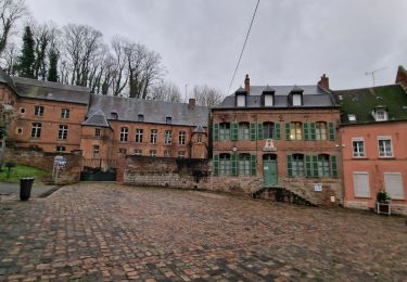
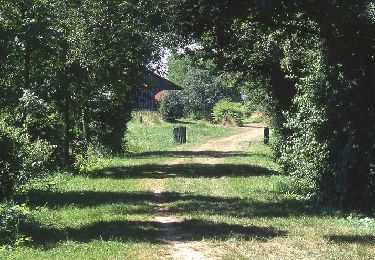
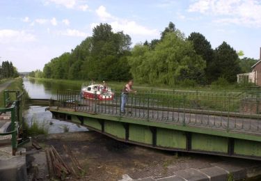
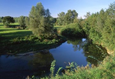
Trail Mountain bike of 61 km to be discovered at Hauts-de-France, Aisne, Guise. This trail is proposed by tracegps.

Description

Sortie VTT sympa autour de Guise, 60km, 660 m de D , retour roulant par la voie verte.

Elevation profile

Positioning

Country:
France
Region :
Hauts-de-France
Department/Province :
Aisne
Municipality :
Guise
Location:
Unknown
Start:(UTM)
545466 ; 5526968 (31U) N.

Trails nearby

Trail Walking Proix - la valette par le nouveau circuit - Photo
Walking
alainwald

Walking

Easy
Proix, Hauts-de-France, Aisne, France
15.8 km | 18.5 km-effort
3h 49min
Yes
Trail Walking Guise - Guise - Photo
Walking
mjh

Walking

Easy
Guise, Hauts-de-France, Aisne, France
10.9 km | 12.7 km-effort
2h 41min
Yes
Trail Walking Vadencourt - circuit vadencourt-Vénerolle - Photo
Walking
alainwald

Walking

Easy
Vadencourt, Hauts-de-France, Aisne, France
18.1 km | 20 km-effort
3h 33min
Yes
Trail Walking Flavigny-le-Grand-et-Beaurain - Béaurain Puisieux - Photo
Walking
jldequin

Walking

Easy
Flavigny-le-Grand-et-Beaurain, Hauts-de-France, Aisne, France
16.6 km | 18.7 km-effort
3h 57min
Yes
Trail Walking Guise - Axe vert de Thiérache 1 - Photo
Walking
tracegps

Walking

Difficult
Guise, Hauts-de-France, Aisne, France
13.3 km | 15.2 km-effort
5h 0min
No
Trail Walking Vadencourt - La rigole - Photo
Walking
tracegps

Walking

Medium
Vadencourt, Hauts-de-France, Aisne, France
8.3 km | 9.8 km-effort
2h 15min
Yes
Trail Walking Guise - La Salette - Photo
Walking
tracegps

Walking

Very difficult
Guise, Hauts-de-France, Aisne, France
15.5 km | 18.3 km-effort
4h 15min
Yes
Trail Walking Guise - La Ferme-de-l'étang - Photo
Walking
tracegps

Walking

Very difficult
Guise, Hauts-de-France, Aisne, France
18.1 km | 21 km-effort
5h 30min
Yes
Trail Walking Flavigny-le-Grand-et-Beaurain - La vallée des agneaux - Photo
Walking
tracegps

Walking

Very difficult
Flavigny-le-Grand-et-Beaurain, Hauts-de-France, Aisne, France
13.6 km | 15.5 km-effort
4h 0min
Yes


Close
My subscriptions