


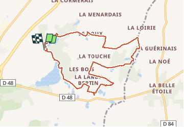
04.11.2018 - GUIGNEN Est

babeth35
User

Length
9.6 km

Max alt
112 m

Uphill gradient
154 m
Km-Effort
11.6 km

Min alt
45 m

Downhill gradient
155 m
Boucle
Yes
Creation date :
2019-01-15 18:25:30.966
Updated on :
2020-07-20 15:01:51.551
3h07
Difficulty : Easy

FREE GPS app for hiking
 SityTrail
IGN / Geographical institutes
SityTrail Plus
The world is yours!
About
Trail Walking of 9.6 km to be discovered at Brittany, Ille-et-Vilaine, Guignen. This trail is proposed by babeth35.
Photos


Positioning
Country:
France
Region :
Brittany
Department/Province :
Ille-et-Vilaine
Municipality :
Guignen
Location:
Unknown
Start:(Dec)
Start:(UTM)
586908 ; 5308807 (30T) N.
Comments