


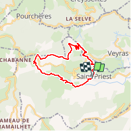

18.1 km | 28 km-effort


User


FREE GPS app for hiking
 SityTrail
IGN / Geographical institutes
SityTrail World
The world is yours!
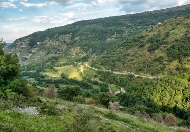
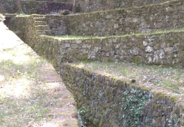
Trail Walking of 13.7 km to be discovered at Auvergne-Rhône-Alpes, Ardèche, Saint-Priest. This trail is proposed by ajd26.
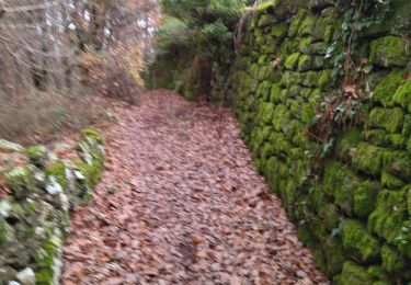
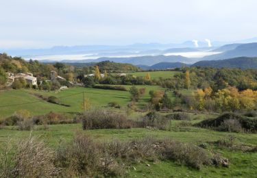
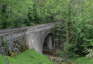
Depuis St Priest, col de l'Arenier et montagne de Charray jolis points de vue- retour après la D104 hors sentiers
Walking
Walking

Walking
Walking
Walking

Walking

Walking
Walking
Walking