


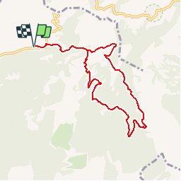

13.1 km | 21 km-effort


User


FREE GPS app for hiking
 SityTrail
IGN / Geographical institutes
SityTrail World
The world is yours!
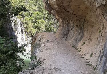
Trail Walking of 8.9 km to be discovered at Provence-Alpes-Côte d'Azur, Alpes-de-Haute-Provence, Estoublon. This trail is proposed by tracegps.
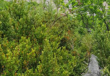
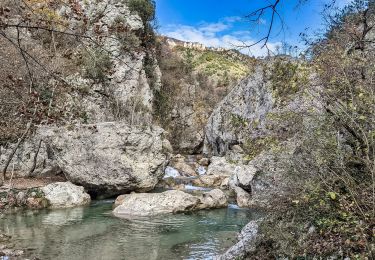
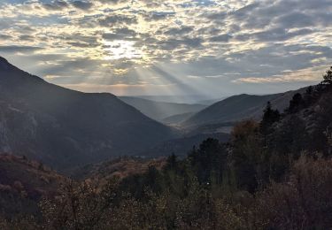
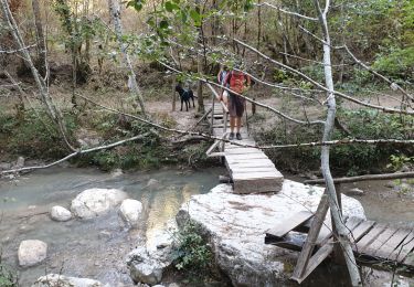
Une magnifique randonnée à 1h15 en automobile d'Aix-en-Provence. Des paysages très variés (méditerranéens et montagneux), très boisés (chênes, tilleuls, buis, hêtres), au dessus de gorges impressionnantes, une rando pour tous les goûts! Pique-nique à Valbonnette, baignade dans les Gorges, points de vue vertigineux, c'est une des plus belles balades de la région.


Walking

Walking
Walking
Walking
Walking
Walking
Walking
Walking
Walking
superbe randonnée.3h00 me semble un peu juste.