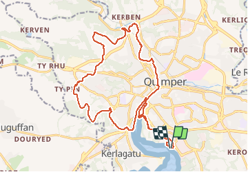

10.8 km | 13.3 km-effort


User


FREE GPS app for hiking
 SityTrail
IGN / Geographical institutes
SityTrail World
The world is yours!
Trail Mountain bike of 22 km to be discovered at Brittany, Finistère, Quimper. This trail is proposed by tracegps.
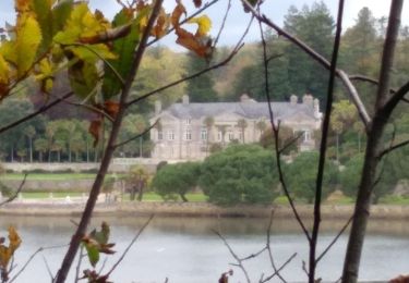
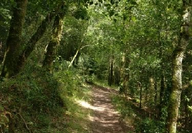
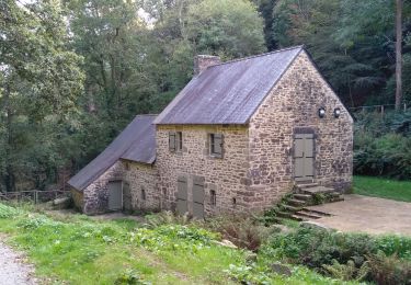
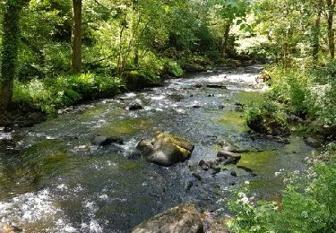
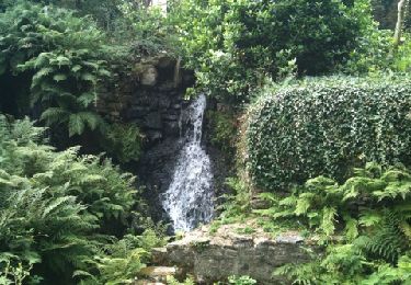
Vous allez apprécier toute la géographie en confluence de Quimper. Vous filez vers les quais de l’Odet puis le centre historique de Quimper par Lanniron et Locmaria. Vous longez la Vallée du Steïr avant de monter à la Chapelle St Conogan et sur la partie haute du nord-ouest de la ville. La fin de la longue descente du vallon de Kermabeuzen sera votre point pour remonter vers Ty Rouz puis Penhars. Vous retrouvez une partie moins urbaine, avec chemins creux. Vous descendez de Kermoisan vers le rond-point de Lududu, qui vous permettra à nouveau de rouler sur le halage jusqu’au Pont du Cap Horn. C’est un retour classique par Locmaria, les faïenceries, Lanniron, avant de finir votre balade à la zone de loisirs de Creac’h Gwen

Walking
Walking


Walking


Walking