


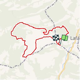


12.4 km | 22 km-effort

User


FREE GPS app for hiking
 SityTrail
IGN / Geographical institutes
SityTrail World
The world is yours!
Trail Walking of 9.1 km to be discovered at Provence-Alpes-Côte d'Azur, Vaucluse, Lafare. This trail is proposed by tracegps.
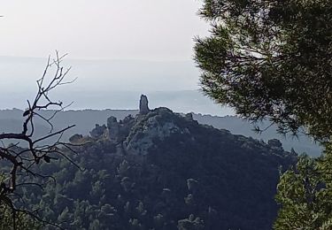
Une très belle balade à faire si possible le matin quand il fait chaud. On découvre les dentelles de Montmirail en empruntant tous les types de chemins. Le balisage dans cette région est rudimentaire; les pistes sont nombreuses; il ne fait pas bon se tromper d'itinéraire au risque de faire de la dénivelée et des kilomètres supplémentaires... Le GPS a ici tout son sens... ne pas oublier la carte non plus!


Walking
Walking

Walking
Walking

Walking
Walking

Walking

Running
Walking
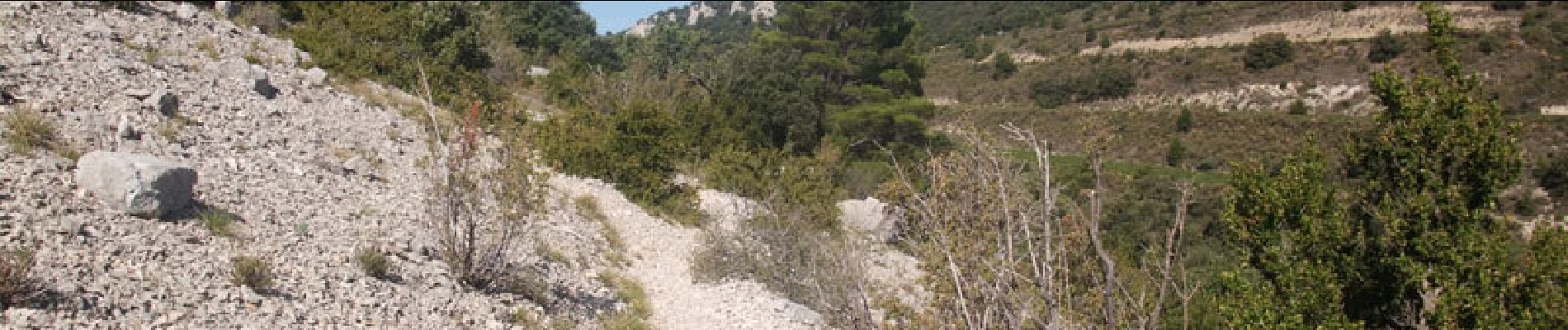
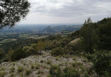
première moitié, de la montée, être bien chaussé, un peu difficile mais de magnifiques paysages
Splendide randonnée dans un beau valon protégé du vent avec des points de vue magnifiques.