


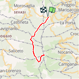

6.5 km | 14.1 km-effort

User


FREE GPS app for hiking
 SityTrail
IGN / Geographical institutes
SityTrail World
The world is yours!
Trail Walking of 13.1 km to be discovered at Corsica, Haute-Corse, Quercitello. This trail is proposed by tracegps.
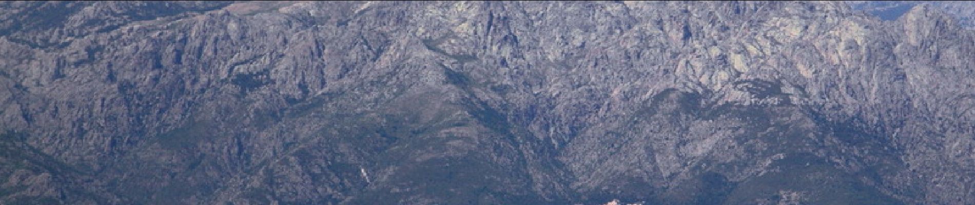
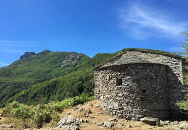
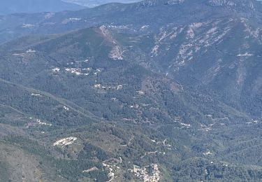
Avec ses 1767 mètres d'altitude, Monte San Petrone est le point culminant de la Castagniccia. Alors que ses flancs sont recouverts de végétation souvent épaisse, les derniers cinquante mètres en sont dépourvus et laissent apparaître un véritable téton de roche schisteuse. Au sommet, on bénéficie donc d'un panorama exceptionnel, et une table d'orientation a d'ailleurs été installée à proximité. Cette randonnée est très facile, mais l'accès à la croix sommitale demande tout de même un peu d'attention. Tous les détails sont ICI.


On foot
Walking

Walking
Walking


On foot
Walking
Walking
Walking
le film du parcours: https://youtu.be/WeNIHwlX3ao
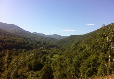
très belle randonnée, malheureusement ils y avaient des nuages coté mer , ça sera pour la prochaine fois...