


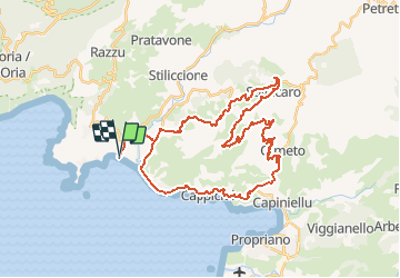
La Punta Di Buturetu - Porto Pollo

tracegps
User


3h15
Difficulty : Very difficult

FREE GPS app for hiking
 SityTrail
IGN / Geographical institutes
SityTrail Plus
The world is yours!
About
Trail Mountain bike of 45 km to be discovered at Corsica, South Corsica, Serra-di-Ferro. This trail is proposed by tracegps.
Description
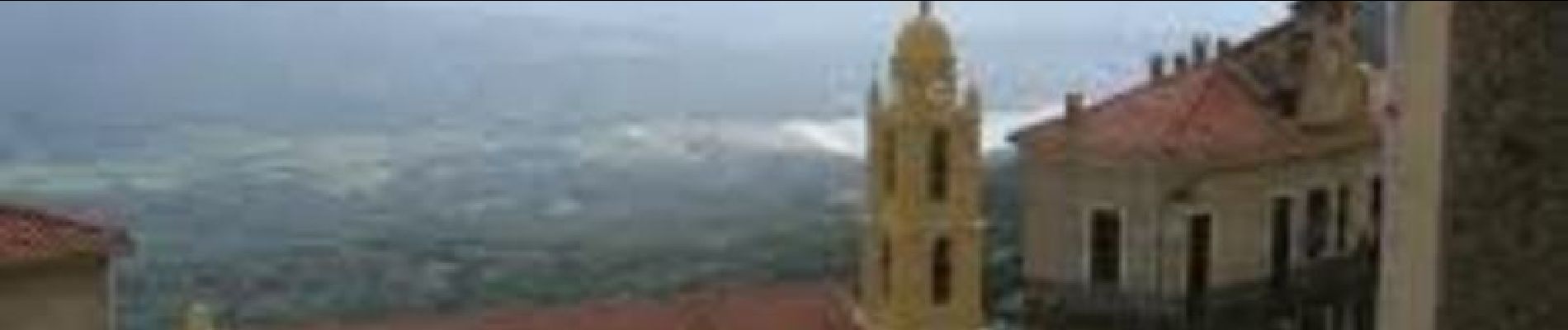
Partez à l'assaut de la Punta Di Buturetu pointe à 840 m dominant la vallée du Taravo au nord, le golfe du Valinco et Propriano au sud. Au départ du parking de la plage du Taravo (commune de Porto-Pollo) traversez les villages de Calvese et Solla-Caro pour atteindre le sommet par les chemins forestiers. La descente se fera par la forêt de Bugnoli, elle est assez technique truffée de ravines et de ronciers (par précaution munissez-vous d'une serpette, elle pourrait être bien utile en cas de végétation luxuriante suivant la saison...). Le sentier se termine à l'entrée basse d'Olmeto, le parcours continue sur la D 196 pour une descente en roue libre puis un retour via le bord de mer par Olmeto-plage et Abbartello. Bonne découverte
Photos


Positioning
Comments