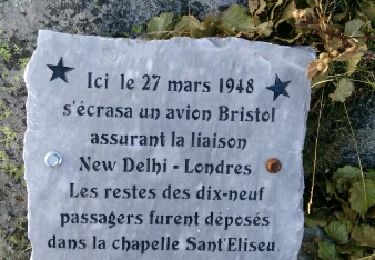
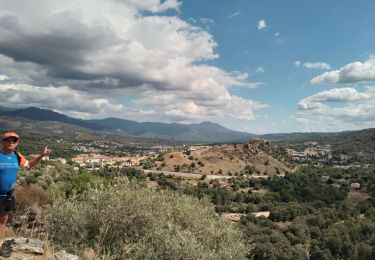
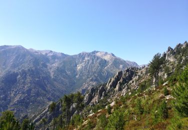
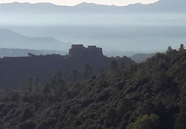
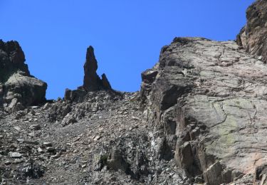
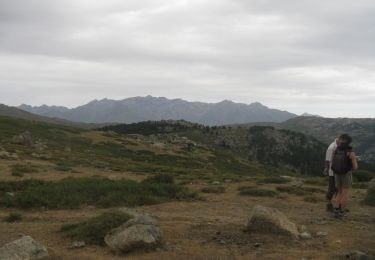
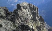
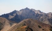
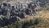
Trail Walking Corte - Monte Cardo via Furmicuccia - Photo

Monte Cardo via Furmicuccia

 tracegps
tracegps

User

© OpenStreetMap contributors
Length
Length
16 km
Max alt
Max alt
2426 m
Uphill gradient
Uphill gradient
1808 m
Km-Effort
Km-Effort  
40 km
Min alt
Min alt
646 m
Downhill gradient
Downhill gradient
1806 m
Boucle
Boucle
Yes
Creation date :
2014-12-10 00:00:00.0
Updated on :
2014-12-10 00:00:00.0

(1 Reviews)

Walking
Walking
0h00
Difficulty : Difficult

Scan this QR Code to open this trail in the SityTrail application

FREE GPS app for hiking

Logo SityTrail SityTrail
IGN / Geographical institutes

Download SityTrail from the App Store Download SityTrail from Google Play

Logo SityTrail SityTrail World

The world is yours!

Download SityTrail from the App Store Download SityTrail from Google Play Download SityTrail on Huawei AppGallery

About

Trail Walking of 16 km to be discovered at Corsica, Haute-Corse, Corte. This trail is proposed by tracegps.

Description

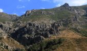
Tous les détails sur cette page. Cette randonnée propose de rejoindre un camp de base aux bergeries de Furmicuccia (qui ne sont pas indiquées sur la carte IGN au 25000), puis emprunte un itinéraire original et hors sentier pour rejoindre Monte Cardo, un des principaux sommets de la Corse. A noter que l’enregistrement GPS du trajet entre le départ (le camping de Tuani) et les bergeries n’est pas très fiable (mauvaise réception en fond de vallée), et qu’il est relativement facile de perdre le sentier. En revanche, la trace entre les bergeries de Furmicuccia et le sommet est de bonne qualité, et il est fortement conseillé de suivre celle qui est le plus au Nord (la trace du retour).

Elevation profile

Photos

Points of interest

Point of interest Corte - Bergeries de Bravinu - Photo
tracegps
Point of interest Corte - Bergeries de Viudoni - Photo
tracegps
Point of interest Corte - Camping de Tuani - Photo
tracegps
Point of interest Venaco - Monte Cardu - Photo
tracegps
VENACO 
Point of interest Corte - Vasque du Bravinu - Photo
tracegps

Positioning

Country:
France
Region :
Corsica
Department/Province :
Haute-Corse
Municipality :
Corte
Location:
Unknown
Start:(UTM)
508927 ; 4680345 (32T) N.

Comments

Please log in to post a review or rate the element


Trails nearby

Trail Walking Santo-Pietro-di-Venaco - Monte Cardo - Photo
Walking
olivecoco

Walking

Difficult
(1)
Santo-Pietro-di-Venaco, Corsica, Haute-Corse, France
14.5 km | 36 km-effort
7h 33min
Yes
Trail Walking Corte - boucle corte-arche-refuge de forca-corte - Photo
Walking
casadebastia

Walking

Difficult
Corte, Corsica, Haute-Corse, France
17.8 km | 36 km-effort
5h 39min
Yes
Trail Walking Corte - corte - Photo
Walking
Roger

Walking

Medium
Corte, Corsica, Haute-Corse, France
6 km | 9.1 km-effort
3h 5min
No
Trail Walking Corte - restauniqua - Photo
Walking
Cathy del vecchio

Walking

Medium
Corte, Corsica, Haute-Corse, France
7.4 km | 11 km-effort
5h 20min
Yes
Trail Walking Corte - Tour d'Alzu - Photo
Walking
olivecoco

Walking

Medium
Corte, Corsica, Haute-Corse, France
15.1 km | 30 km-effort
6h 52min
Yes
Trail Walking Corte - gite sega - Photo
Walking
Cathy del vecchio

Walking

Medium
Corte, Corsica, Haute-Corse, France
28 km | 43 km-effort
9h 44min
Yes
Trail Walking Corte - Monte Rotondo via Riviseccu - Photo
Walking
tracegps

Walking

Difficult
Corte, Corsica, Haute-Corse, France
18.5 km | 42 km-effort
16h 0min
Yes
Trail Walking Corte - Le Plateau d'Alzu - Corte - Photo
Walking
tracegps

Walking

Difficult
Corte, Corsica, Haute-Corse, France
14.9 km | 27 km-effort
7h 0min
No
Trail Walking Corte - Basse vallée de la Restonica - Photo
Walking
py.bretecher

Walking

Medium
Corte, Corsica, Haute-Corse, France
13.2 km | 21 km-effort
Unknown
Yes


Close
My subscriptions