


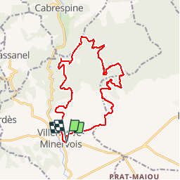


28 km | 43 km-effort

User


FREE GPS app for hiking
 SityTrail
IGN / Geographical institutes
SityTrail World
The world is yours!
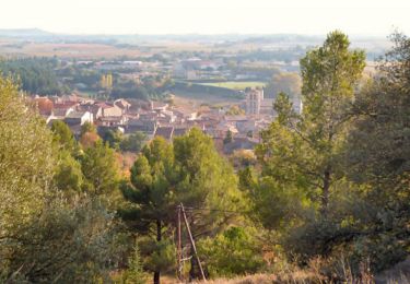
Trail Walking of 18.2 km to be discovered at Occitania, Aude, Villeneuve-Minervois. This trail is proposed by tracegps.


Running

Walking
Walking
Mountain bike

Walking
On foot
Walking
Walking
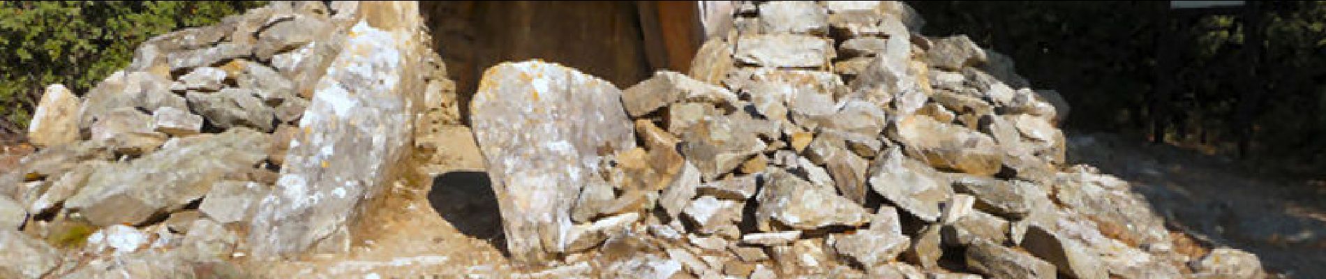
Rando agréable mais attention : on perd facilement la trace au niveau du bois noir et de la garigue à cause de la végétation envahissante. Sentier à débroussailler SVP !