


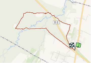


8.9 km | 11.5 km-effort


User


FREE GPS app for hiking
 SityTrail
IGN / Geographical institutes
SityTrail World
The world is yours!
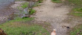
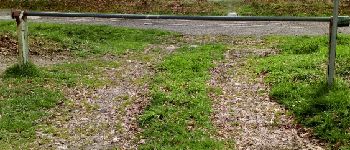
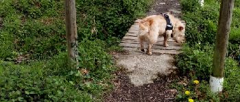
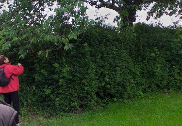
Trail Nordic walking of 5 km to be discovered at Occitania, Hautespyrenees, Bordères-sur-l'Échez. This trail is proposed by GIRAUDEL.
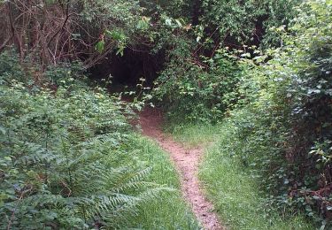
Bois du Commandeur côté Bordères sur Echez.
Parcours pour organiser un jeu d'orientation
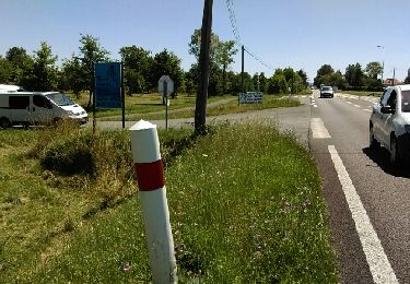
départ du parking au croisement de la D2 (vers Pintac) et D93


Walking

On foot

Nordic walking
Walking
Nordic walking
Walking

Other activity
Walking
On foot