


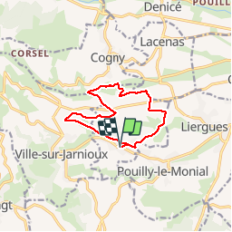
Jarnioux (10,6 km - D. 256 m)

Thomasdanielle
User

Length
10.6 km

Max alt
410 m

Uphill gradient
256 m
Km-Effort
14 km

Min alt
272 m

Downhill gradient
255 m
Boucle
Yes
Creation date :
2019-01-15 19:23:20.358
Updated on :
2019-01-15 19:23:20.358
2h59
Difficulty : Easy

FREE GPS app for hiking
 SityTrail
IGN / Geographical institutes
SityTrail Plus
The world is yours!
About
Trail Walking of 10.6 km to be discovered at Auvergne-Rhône-Alpes, Rhône, Porte des Pierres Dorées. This trail is proposed by Thomasdanielle.
Description
D/A Parking village
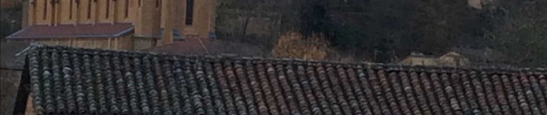
Photos
 - Photo 1")
Positioning
Country:
France
Region :
Auvergne-Rhône-Alpes
Department/Province :
Rhône
Municipality :
Porte des Pierres Dorées
Location:
Jarnioux
Start:(Dec)
Start:(UTM)
626283 ; 5091350 (31T) N.
Comments