Trail Walking Chanaleilles - Le Sauvage - Les Estrets - Chemin de Compostelle - Photo

Le Sauvage - Les Estrets - Chemin de Compostelle

 tracegps
tracegps

User

© OpenStreetMap contributors
Length
Length
21 km
Max alt
Max alt
1336 m
Uphill gradient
Uphill gradient
348 m
Km-Effort
Km-Effort  
27 km
Min alt
Min alt
918 m
Downhill gradient
Downhill gradient
704 m
Boucle
Boucle
No
Creation date :
2014-12-10 00:00:00.0
Updated on :
2014-12-10 00:00:00.0

(1 Reviews)

Walking
Walking
5h04
Difficulty : Very difficult

Scan this QR Code to open this trail in the SityTrail application

FREE GPS app for hiking

Logo SityTrail SityTrail

IGN / Geographical institutes

Download SityTrail from the App Store Download SityTrail from Google Play

Logo SityTrail SityTrail World

The world is yours!

Download SityTrail from the App Store Download SityTrail from Google Play Download SityTrail on Huawei AppGallery

About

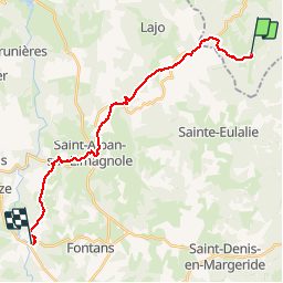
Trail Walking of 21 km to be discovered at Auvergne-Rhône-Alpes, Haute-Loire, Chanaleilles. This trail is proposed by tracegps.

Description

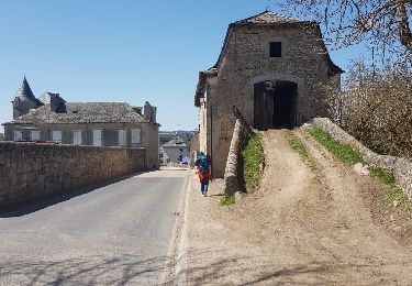
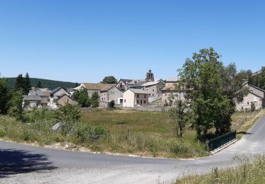
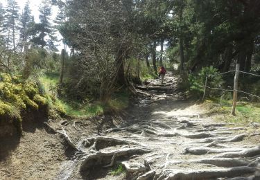
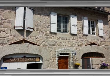
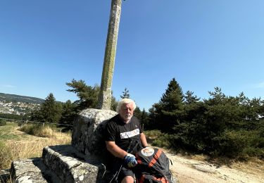
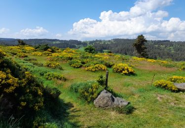
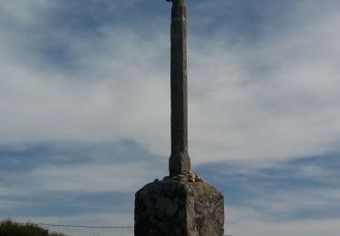
Cette étape du Chemin de Compostelle est longue de 21,6Km avec une dénivelée descendante d'environ 360m. Autant dire que si ce n'est la distance et le poids du sac, cette étape est plutôt reposante. D’autres informations et photos sur le Chemin de Compostelle sont disponibles ICI Balade proposée par « Les Balades et Randonnées de Fred »

Elevation profile

Photos

Positioning

Country:
France
Region :
Auvergne-Rhône-Alpes
Department/Province :
Haute-Loire
Municipality :
Chanaleilles
Location:
Unknown
Start:(UTM)
538515 ; 4963608 (31T) N.

Comments

Please log in to post a review or rate the element


Trails nearby

Trail Walking Lajo - La Roche Aumont Aubrac avril 2018 - Photo
Walking
GUIDE
Kargil

Walking

Difficult
Lajo, Occitania, Lozère, France
24 km | 31 km-effort
7h 39min
No
Trail Walking Sainte-Eulalie - circuit à Sainte Eulalie - Photo
Walking
GILOU440

Walking

Easy
Sainte-Eulalie, Occitania, Lozère, France
10.9 km | 14.4 km-effort
3h 16min
Yes
Trail Walking Chanaleilles - Le Sauvage - Aumont-Aubrac - Photo
Walking
RR31

Walking

Very difficult
Chanaleilles, Auvergne-Rhône-Alpes, Haute-Loire, France
31 km | 39 km-effort
8h 44min
No
Trail Walking Saint-Alban-sur-Limagnole - Étape 4 - Photo
Walking
countryside

Walking

Medium
Saint-Alban-sur-Limagnole, Occitania, Lozère, France
22 km | 28 km-effort
5h 29min
No
Trail Walking Saint-Alban-sur-Limagnole - Étape 4 - Photo
Walking
countryside

Walking

Medium
Saint-Alban-sur-Limagnole, Occitania, Lozère, France
22 km | 28 km-effort
5h 29min
No
Trail Walking Saint-Alban-sur-Limagnole - Les Faux - Aumont-Aubrac - Photo
Walking
countryside

Walking

Medium
Saint-Alban-sur-Limagnole, Occitania, Lozère, France
22 km | 28 km-effort
5h 57min
No
Trail sport Chanaleilles - Le Puits En Velay, jour 4 - Photo
sport
ezola

sport

Very easy
(1)
Chanaleilles, Auvergne-Rhône-Alpes, Haute-Loire, France
35 km | 45 km-effort
Unknown
No
Trail Walking Lajo - live Lajo - Aumont Aubrac - Photo
Walking
djeepee74

Walking

Difficult
Lajo, Occitania, Lozère, France
26 km | 33 km-effort
7h 32min
No
Trail Walking Saint-Alban-sur-Limagnole - les faux à au mont sur aubrac - Photo
Walking
fab0202

Walking

Medium
Saint-Alban-sur-Limagnole, Occitania, Lozère, France
24 km | 30 km-effort
5h 11min
No


Close
My subscriptions