


5.2 km | 7 km-effort

User


FREE GPS app for hiking
 SityTrail
IGN / Geographical institutes
SityTrail World
The world is yours!
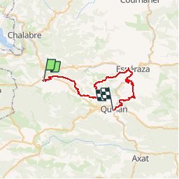
Trail Mountain bike of 41 km to be discovered at Occitania, Aude, Puivert. This trail is proposed by tracegps.
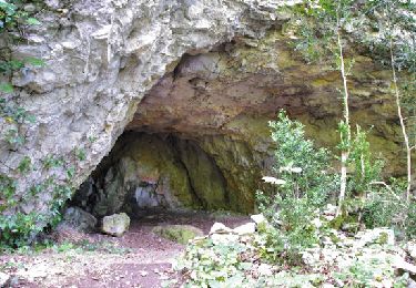
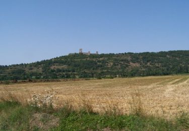
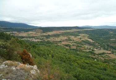
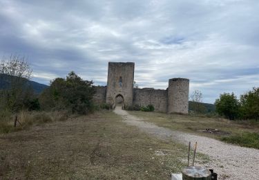
7 Aout 2004 Dernière étape de ce beau trip en pays Cathare. Après le château de Puivert, le GR commence à suivre une belle crête….pour atteindre un labyrinthe naturel. L’endroit est assez exceptionnel et étrange ! ! ! Histoire de rallonger un peu le parcours, on suit le circuit FFC no8, qui finit à Esperanza par une descente magnifique. On passe au col ‘sans nom’ ! ! La suite et les dernières photos sont ICI


Walking

Walking
Walking

Equestrian
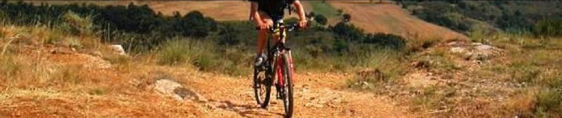
Mountain bike

Walking
Walking

sport

Walking