


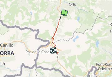
Chemin des Bonhommes - Merens Porta

tracegps
User

Length
22 km

Max alt
2053 m

Uphill gradient
1029 m
Km-Effort
34 km

Min alt
1082 m

Downhill gradient
595 m
Boucle
No
Creation date :
2014-12-10 00:00:00.0
Updated on :
2014-12-10 00:00:00.0
6h00
Difficulty : Very difficult

FREE GPS app for hiking
 SityTrail
IGN / Geographical institutes
SityTrail Plus
The world is yours!
About
Trail Walking of 22 km to be discovered at Occitania, Ariège, Mérens-les-Vals. This trail is proposed by tracegps.
Description
Cinquième étape du Chemin des Bonhommes. Réalisée par le Bureau des Guides Équestres Transpyrénéens, cette trace fait partie des Sentiers Transfrontaliers Pyrénéens.
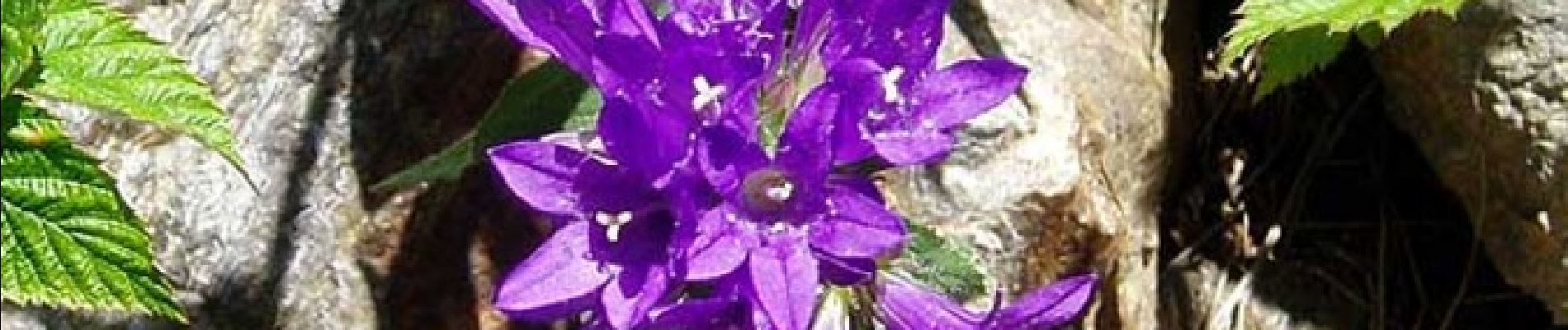
Photos

Positioning
Country:
France
Region :
Occitania
Department/Province :
Ariège
Municipality :
Mérens-les-Vals
Location:
Unknown
Start:(Dec)
Start:(UTM)
404440 ; 4722768 (31T) N.
Comments
perros
perros