
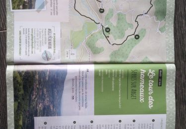
30 km | 36 km-effort


User


FREE GPS app for hiking
 SityTrail
IGN / Geographical institutes
SityTrail World
The world is yours!
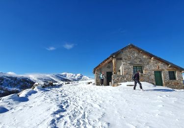
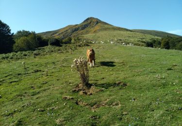
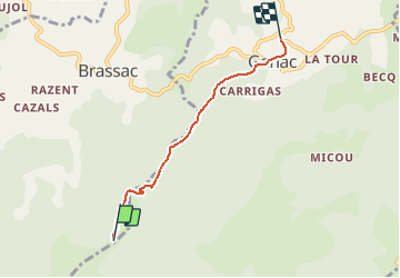
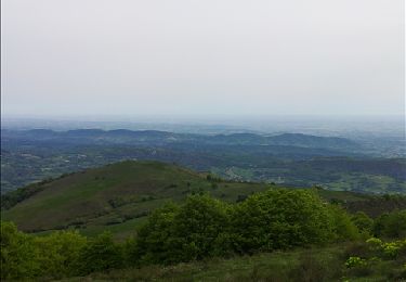
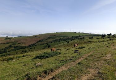
Trail Equestrian of 4.1 km to be discovered at Occitania, Ariège, Brassac. This trail is proposed by tracegps.
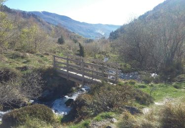
Balade proposée par le Bureau des Guides Équestres Transpyrénéens Toutes les randonnées équestres dans les Pyrénées Sans Frontières à Cheval

Mountain bike
On foot
Walking

Mountain bike
Walking
Walking