7.8 km | 9.8 km-effort
Les canaux au départ d'Esbly
vitius
User
Length
14 km
Max alt
67 m
Uphill gradient
87 m
Km-Effort
15.2 km
Min alt
42 m
Downhill gradient
89 m
Boucle
Yes
Creation date :
2019-05-07 16:38:57.517
Updated on :
2019-05-07 16:38:57.596
3h22
Difficulty : Medium
FREE GPS app for hiking
About
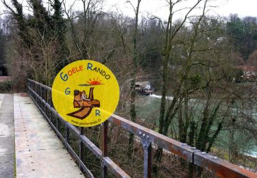
Trail Walking of 14 km to be discovered at Ile-de-France, Seine-et-Marne, Esbly. This trail is proposed by vitius.
Description
Un circuit de randonnée pour les temps pluvieux
Positioning
Country:
France
Region :
Ile-de-France
Department/Province :
Seine-et-Marne
Municipality :
Esbly
Location:
Unknown
Start:(Dec)
Start:(UTM)
486128 ; 5416272 (31U) N.
Comments
Trails nearby
Randonnée douce
Walking
Very easy
(1)
Esbly,
Ile-de-France,
Seine-et-Marne,
France
8.1 km | 8.8 km-effort
Unknown
Yes
Boucle > 30 km Coupvray -Meaux
Walking
Very difficult
Coupvray,
Ile-de-France,
Seine-et-Marne,
France
33 km | 37 km-effort
6h 28min
Yes
Esbly -Couilly - Quincy
Walking
Easy
(1)
Esbly,
Ile-de-France,
Seine-et-Marne,
France
14.1 km | 16.5 km-effort
3h 44min
Yes
Esbly_Crécy la chapelle
Walking
Easy
Esbly,
Ile-de-France,
Seine-et-Marne,
France
15.2 km | 17.6 km-effort
4h 2min
No
CRAB : "De l'eau pour tous"
Walking
Easy
Condé-Sainte-Libiaire,
Ile-de-France,
Seine-et-Marne,
France
20 km | 24 km-effort
4h 18min
Yes
Le nord de la Vallée du grand Morin
Cycle
Medium
Saint-Germain-sur-Morin,
Ile-de-France,
Seine-et-Marne,
France
53 km | 63 km-effort
3h 10min
Yes
Quincy-Voisins
Walking
Difficult
(1)
Mareuil-lès-Meaux,
Ile-de-France,
Seine-et-Marne,
France
30 km | 35 km-effort
7h 35min
Yes
Condé
Running
Very easy
(2)
Condé-Sainte-Libiaire,
Ile-de-France,
Seine-et-Marne,
France
11.8 km | 14.1 km-effort
1h 10min
Yes