


35 km | 41 km-effort

User


FREE GPS app for hiking
 SityTrail
IGN / Geographical institutes
SityTrail World
The world is yours!
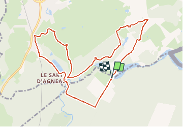
Trail Walking of 10.2 km to be discovered at Hauts-de-France, Aisne, Hirson. This trail is proposed by tracegps.
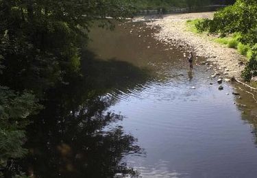
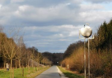
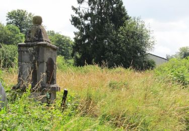
Les beaux étangs d'Anor (La Neuve-Forges, Milourd, la Pas-Bayard...) furent créés aux XVe et XVIe siècles pour alimenter les forges locales, qui utilisaient la force hydraulique ainsi obtenue. Aujourd'hui, ces étendues d'eau calme profitent aux pêcheurs comme aux promeneurs. Toutes les infos sont ICI


Walking

Walking
Walking

Walking
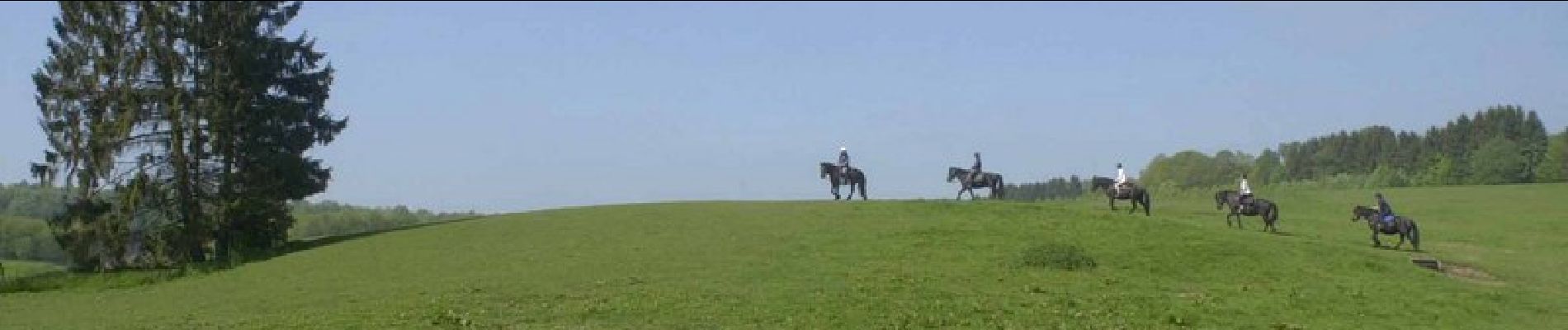
Horseback riding
Walking

Nordic walking
Nordic walking
Walking