


stanneux nord 12 18

Mullender
User
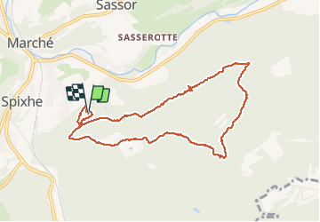

Length
8.4 km

Max alt
373 m

Uphill gradient
193 m
Km-Effort
11 km

Min alt
282 m

Downhill gradient
195 m
Boucle
Yes
Creation date :
2019-01-15 20:03:44.465
Updated on :
2019-01-15 20:03:44.465
1h50
Difficulty : Medium

FREE GPS app for hiking
 SityTrail
IGN / Geographical institutes
SityTrail Plus
The world is yours!
About
Trail Walking of 8.4 km to be discovered at Wallonia, Liège, Theux. This trail is proposed by Mullender.
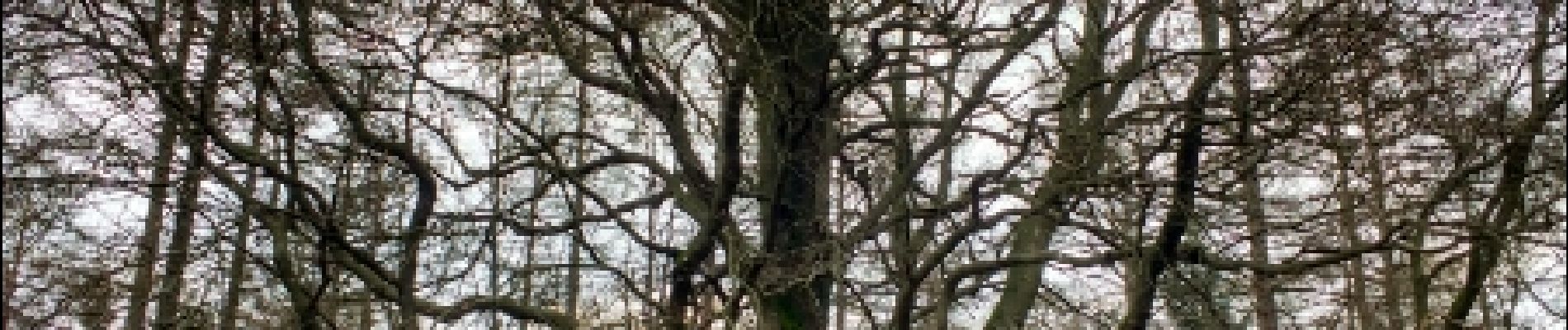
Photos

Positioning
Country:
Belgium
Region :
Wallonia
Department/Province :
Liège
Municipality :
Theux
Location:
Theux
Start:(Dec)
Start:(UTM)
700740 ; 5600192 (31U) N.
Comments