


15.1 km | 20 km-effort


User


FREE GPS app for hiking
 SityTrail
IGN / Geographical institutes
SityTrail World
The world is yours!
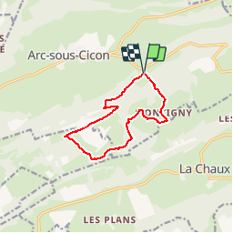
Trail Walking of 11.3 km to be discovered at Bourgogne-Franche-Comté, Doubs, Arc-sous-Cicon. This trail is proposed by tracegps.
Au travers de cet itinéraire, le randonneur part à la rencontre d'un paysage typique du Haut-Doubs. En effet, la silhouette généreuse de l'anticlinal du Crêt Monniot est l'exemple le plus représentatif de la "montagne à vaches", façonnée par l'élevage en estive avec ses pâturages d'altitude (entre 800 et 1200 m) facilement accessibles et donc exploitables par l'homme. La suite avec d’autres informations et photos est ICI
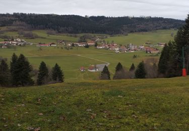
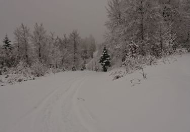
 depuis Les Cordiers - Photo 1")
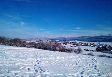
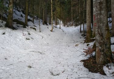
 depuis Les Cordiers - Photo 2")
Walking
Walking
Snowshoes
Snowshoes
Snowshoes
Walking
Snowshoes

Walking

Mountain bike