


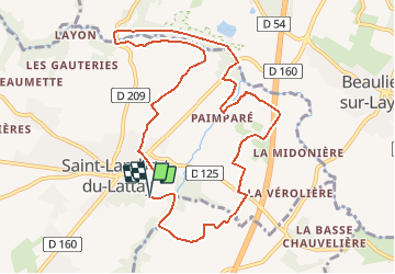
Rivières et coteaux - Saint Lambert du Lattay

tracegps
User


3h30
Difficulty : Medium

FREE GPS app for hiking
 SityTrail
IGN / Geographical institutes
SityTrail Plus
The world is yours!
About
Trail Walking of 10.4 km to be discovered at Pays de la Loire, Maine-et-Loire, Val-du-Layon. This trail is proposed by tracegps.
Description
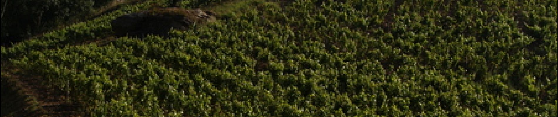
Le décor de cet itinéraire est partagé entre rivières et coteaux, parfois abrupts, où s'est développée à hauteur du site du Pont Barré, une végétation méridionale où de nombreuses espèces animales et végétales se rencontrent.
Photos


Positioning
Comments