


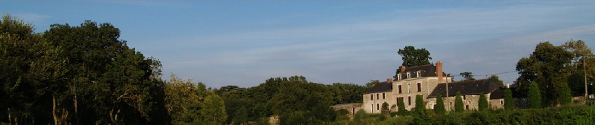
De Loire en forêt - Le Thoureil

tracegps
User


2h15
Difficulty : Medium

FREE GPS app for hiking
 SityTrail
IGN / Geographical institutes
SityTrail Plus
The world is yours!
About
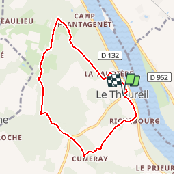
Trail Walking of 7.3 km to be discovered at Pays de la Loire, Maine-et-Loire, Gennes-Val-de-Loire. This trail is proposed by tracegps.
Description
Si vous êtes curieux de préhistoire, ce circuit est pour vous… Vous y chercherez de nombreux mégalithes plantés à travers bois puis finirez la balade par un panorama grandiose sur la Loire et l’ancien port de Thoureil où s’amarraient jusqu’au début du siècle dernier de nombreuses gabares.
Photos

Positioning
Comments