Trail Walking Fossemanant - Le Bois du Quesnoy - Photo
 tracegps
tracegps

User

© OpenStreetMap contributors
Length
Length
8.3 km
Max alt
Max alt
98 m
Uphill gradient
Uphill gradient
97 m
Km-Effort
Km-Effort  
9.6 km
Min alt
Min alt
41 m
Downhill gradient
Downhill gradient
97 m
Boucle
Boucle
Yes
Creation date :
2014-12-10 00:00:00.0
Updated on :
2014-12-10 00:00:00.0

(0 Reviews)

Walking
Walking
2h40
Difficulty : Medium

Scan this QR Code to open this trail in the SityTrail application

FREE GPS app for hiking

Logo SityTrail SityTrail

IGN / Geographical institutes

Download SityTrail from the App Store Download SityTrail from Google Play

Logo SityTrail SityTrail World

The world is yours!

Download SityTrail from the App Store Download SityTrail from Google Play Download SityTrail on Huawei AppGallery

About

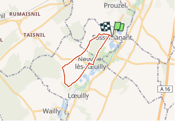
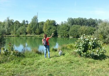
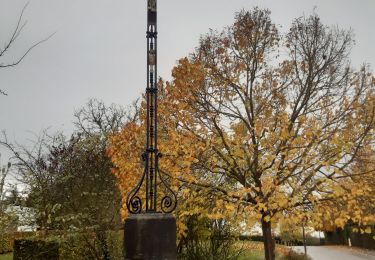
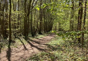
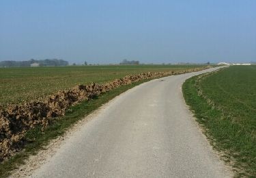
Trail Walking of 8.3 km to be discovered at Hauts-de-France, Somme, Fossemanant. This trail is proposed by tracegps.

Description

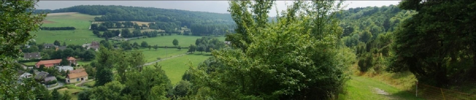
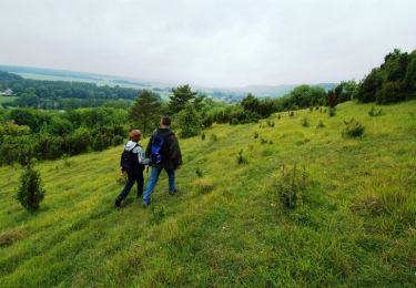
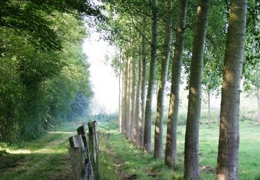
Après le bois, la plaine et les talus, terminez la promenade sur une ancienne voie ferrée devenue chemin.

Elevation profile

Photos

Positioning

Country:
France
Region :
Hauts-de-France
Department/Province :
Somme
Municipality :
Fossemanant
Location:
Unknown
Start:(UTM)
442396 ; 5517050 (31U) N.

Trails nearby

Trail Walking Bacouel-sur-Selle - Le Parcours du chevreuil - Photo
Walking
tracegps

Walking

Easy
(1)
Bacouel-sur-Selle, Hauts-de-France, Somme, France
5.1 km | 6.2 km-effort
1h 40min
Yes
Trail Walking Dury - La belle épine - Photo
Walking
tracegps

Walking

Medium
(1)
Dury, Hauts-de-France, Somme, France
12.2 km | 13.8 km-effort
4h 0min
Yes
Trail On foot Bacouel-sur-Selle - Le Parcours du Chevreuil - Photo
On foot
PRO

On foot

Easy
Bacouel-sur-Selle, Hauts-de-France, Somme, France
5 km | 6 km-effort
1h 22min
Yes
Trail On foot Fossemanant - Le Bois du Quesnoy - Photo
On foot
PRO

On foot

Easy
Fossemanant, Hauts-de-France, Somme, France
8.2 km | 9.5 km-effort
2h 9min
No
Trail Walking Ô-de-Selle - Les étangs de Conty - Photo
Walking
sulcata80

Walking

Easy
Ô-de-Selle, Hauts-de-France, Somme, France
7.9 km | 8.6 km-effort
1h 53min
Yes
Trail Walking Dury - balade de la belle épine  - Photo
Walking
stef789

Walking

Very easy
Dury, Hauts-de-France, Somme, France
12.3 km | 13.9 km-effort
3h 11min
Yes
Trail Walking Bacouel-sur-Selle - Bacouel sur Selle - Photo
Walking
jpblimond

Walking

Medium
Bacouel-sur-Selle, Hauts-de-France, Somme, France
20 km | 24 km-effort
4h 38min
Yes
Trail Walking Dury - dury - Photo
Walking
mc59

Walking

Very easy
Dury, Hauts-de-France, Somme, France
7.1 km | 8.1 km-effort
1h 38min
No
Trail Walking Ô-de-Selle - La coulée verte en Somme (2) - Photo
Walking
tracegps

Walking

Medium
Ô-de-Selle, Hauts-de-France, Somme, France
9.7 km | 10.6 km-effort
3h 0min
No


Close
My subscriptions