Trail Walking Coucy-le-Château-Auffrique - Le Circuit d'Enguerrand - Photo
 tracegps
tracegps

User

© OpenStreetMap contributors
Length
Length
10.5 km
Max alt
Max alt
125 m
Uphill gradient
Uphill gradient
153 m
Km-Effort
Km-Effort  
12.5 km
Min alt
Min alt
51 m
Downhill gradient
Downhill gradient
153 m
Boucle
Boucle
Yes
Creation date :
2014-12-10 00:00:00.0
Updated on :
2014-12-10 00:00:00.0

(1 Reviews)

Walking
Walking
3h00
Difficulty : Difficult

Scan this QR Code to open this trail in the SityTrail application

FREE GPS app for hiking

Logo SityTrail SityTrail

IGN / Geographical institutes

Download SityTrail from the App Store Download SityTrail from Google Play

Logo SityTrail SityTrail Plus

The world is yours!

Download SityTrail from the App Store Download SityTrail from Google Play Download SityTrail on Huawei AppGallery

About

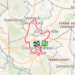
Trail Walking of 10.5 km to be discovered at Hauts-de-France, Aisne, Coucy-le-Château-Auffrique. This trail is proposed by tracegps.

Description

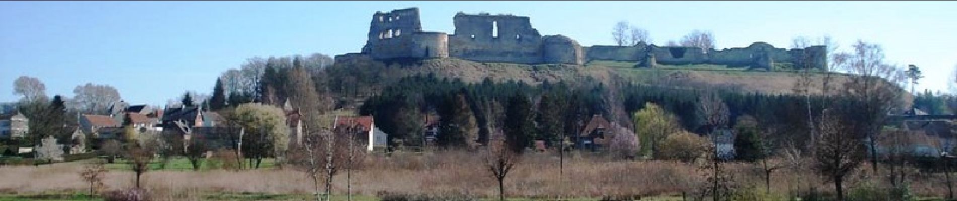
Au départ de Coucy, ce circuit permet d'admirer les vestiges de son château fort. En longeant les remparts autour de la ville, il est facile d'imaginer que cette forteresse fut la plus grande d'Europe. Retrouvez toutes les informations nécessaires ICI

Elevation profile

Photos

Positioning

Country:
France
Region :
Hauts-de-France
Department/Province :
Aisne
Municipality :
Coucy-le-Château-Auffrique
Location:
Unknown
Start:(UTM)
523424 ; 5485270 (31U) N.

Comments

Please log in to post a review or rate the element


Close
My subscriptions