


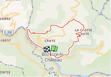


18.4 km | 27 km-effort


User


FREE GPS app for hiking
 SityTrail
IGN / Geographical institutes
SityTrail World
The world is yours!
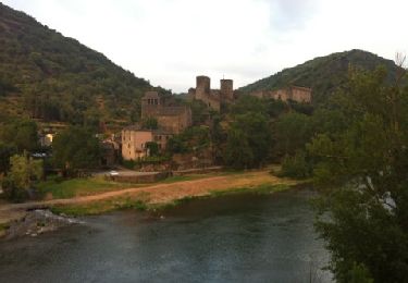
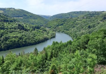
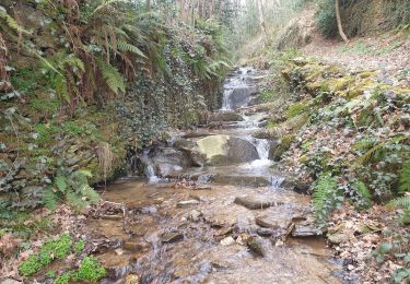
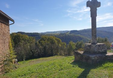
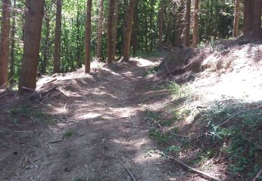
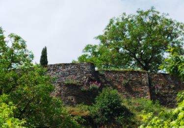
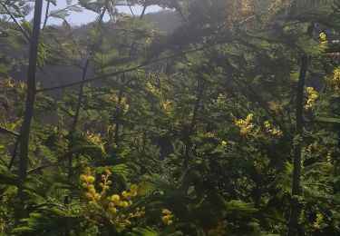
Trail Walking of 8.5 km to be discovered at Occitania, Aveyron, Brousse-le-Château. This trail is proposed by nanie.
RECO


Walking
Walking
Walking
Walking
Walking

Walking
Walking
Walking