Trail Walking Fermanville - La Vallée des Moulins - Photo

La Vallée des Moulins

 tracegps
tracegps

User

© OpenStreetMap contributors
Length
Length
7.8 km
Max alt
Max alt
83 m
Uphill gradient
Uphill gradient
155 m
Km-Effort
Km-Effort  
9.8 km
Min alt
Min alt
0 m
Downhill gradient
Downhill gradient
158 m
Boucle
Boucle
Yes
Creation date :
2014-12-10 00:00:00.0
Updated on :
2014-12-10 00:00:00.0

(0 Reviews)

Walking
Walking
2h15
Difficulty : Medium

Scan this QR Code to open this trail in the SityTrail application

FREE GPS app for hiking

Logo SityTrail SityTrail

IGN / Geographical institutes

Download SityTrail from the App Store Download SityTrail from Google Play

Logo SityTrail SityTrail World

The world is yours!

Download SityTrail from the App Store Download SityTrail from Google Play Download SityTrail on Huawei AppGallery

About

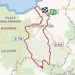
Trail Walking of 7.8 km to be discovered at Normandy, Manche, Fermanville. This trail is proposed by tracegps.

Description

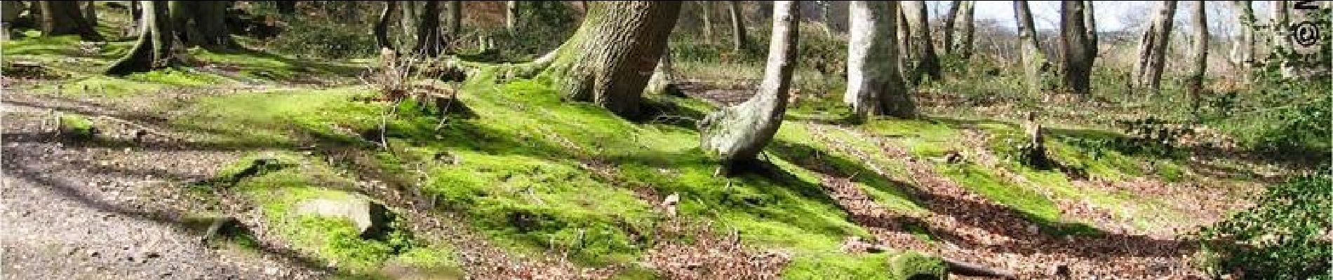
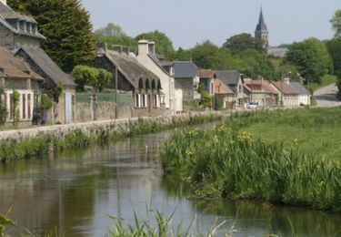
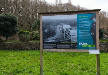
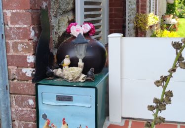
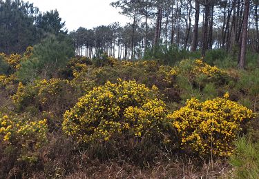
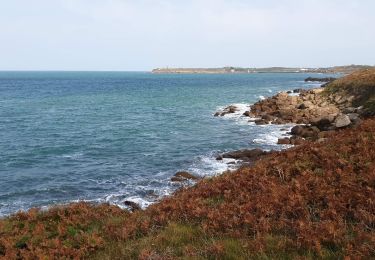
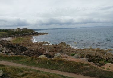
La Vallée des Moulins – Phase Béta Depuis les hauteurs de Fermanville, admirez la vue sur la mer et la baie de Tocqueboeuf sous un nouvel angle. Entre deux arbres, les flots se dévoilent et les paysages prennent du large. Franchissez la vallée des moulins depuis le viaduc de Fermanville, à 30 mètres de haut, et arrêtez-vous quelques instants au Hameau du moulin de Carneville, avec sa vieille cour du 16ème et 18ème… Plus de détails sur le circuit (balisage, difficulté…), les points remarquables à proximité et téléchargements sur Manche Tourisme – Loisirs Randonnée GPS. Géocache à proximité ! Informations sur www.manchetourisme.com rubrique « sports et activités / avec son GPS » Actuellement en phase de développement, nous collectons les avis, les remarques, les propositions… Faites-nous part de vos impressions, ou laissez-nous simplement une adresse mail manchetourisme@cg50.fr

Elevation profile

Photos

Positioning

Country:
France
Region :
Normandy
Department/Province :
Manche
Municipality :
Fermanville
Location:
Unknown
Start:(UTM)
612711 ; 5505280 (30U) N.

Trails nearby

Trail Mountain bike Fermanville - Fermanville - Le Vast - Photo
Mountain bike
tracegps

Mountain bike

Difficult
(1)
Fermanville, Normandy, Manche, France
32 km | 37 km-effort
2h 30min
No
Trail Walking Fermanville - La Vallée des Moulins - Photo
Walking
PatRando

Walking

Medium
Fermanville, Normandy, Manche, France
9.1 km | 11 km-effort
2h 30min
Yes
Trail Walking Clitourps - Clitourps  - Photo
Walking
PatRando

Walking

Easy
Clitourps, Normandy, Manche, France
9.9 km | 11.3 km-effort
2h 13min
Yes
Trail Walking Fermanville - Fermanville - Photo
Walking
PascalN

Walking

Medium
Fermanville, Normandy, Manche, France
17.6 km | 22 km-effort
3h 0min
Yes
Trail Walking Fermanville - Fermanville /  Maupertus - Photo
Walking
PascalN

Walking

Medium
Fermanville, Normandy, Manche, France
21 km | 26 km-effort
3h 36min
Yes
Trail Walking Fermanville - 50 Autour du Cap LEVI 5km  - Photo
Walking
SyMA

Walking

Very easy
Fermanville, Normandy, Manche, France
5.1 km | 5.6 km-effort
1h 22min
Yes
Trail Walking Fermanville - cap levi - Photo
Walking
murph

Walking

Easy
(1)
Fermanville, Normandy, Manche, France
4.4 km | 4.8 km-effort
1h 3min
Yes
Trail Walking Fermanville - fermanville 12042019 - Photo
Walking
AMOURETTE

Walking

Very easy
(1)
Fermanville, Normandy, Manche, France
9.3 km | 11.8 km-effort
2h 4min
Yes
Trail Walking Fermanville - boucle cap Lévy plage mondree  - Photo
Walking
fbienmuller

Walking

Very easy
(1)
Fermanville, Normandy, Manche, France
7 km | 8 km-effort
1h 48min
Yes


Close
My subscriptions