


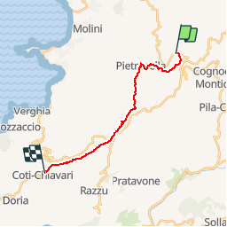

18.8 km | 29 km-effort

User


FREE GPS app for hiking
 SityTrail
IGN / Geographical institutes
SityTrail World
The world is yours!
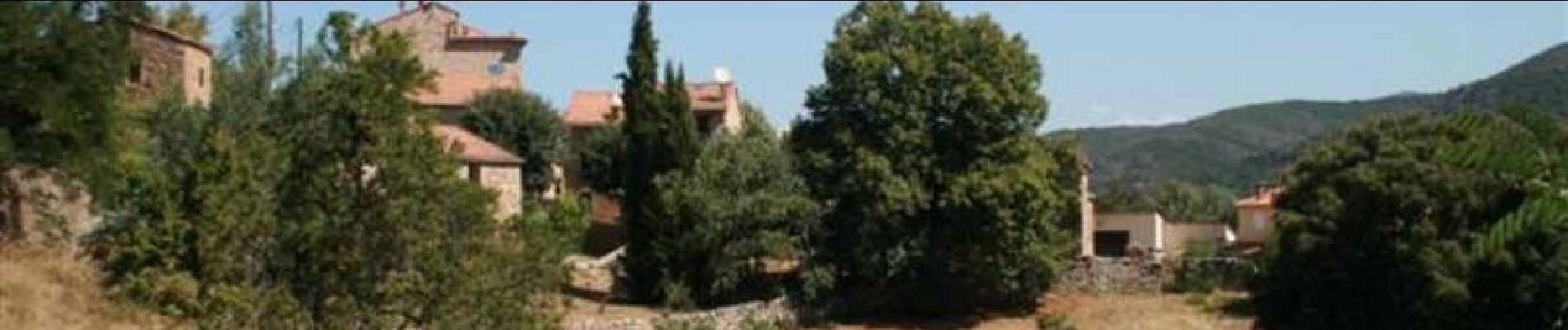
Trail Walking of 15.5 km to be discovered at Corsica, South Corsica, Albitreccia. This trail is proposed by tracegps.
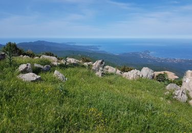
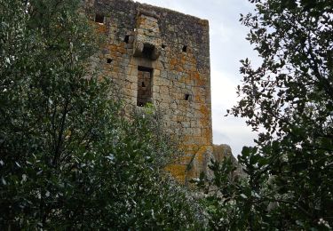
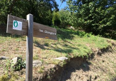
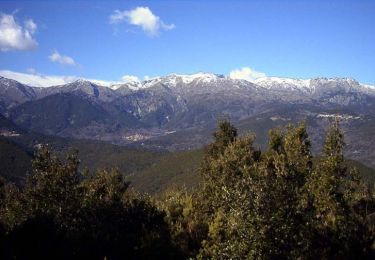
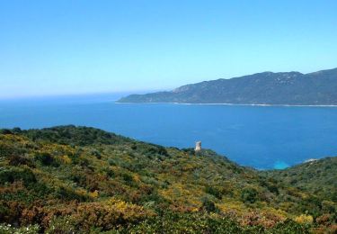
Mare e Monti Sud – De Porticcio à Propriano Ce nouvel itinéraire vous invite à parcourir à la fois la Corse traditionnelle de l’intérieur et les rivages enchanteurs des golfes d’Ajaccio et du Valincu. Mer et Montagne, conjugués une nouvelle fois, mais avec l’accent du Sud. Deuxième étape de Bisinao à Coti Chiavari. Vous trouverez le descriptif détaillé de cette randonnée dans le Topo-guide «Corse, entre mer et montagne». Pour toute information complémentaire sur la randonnée : Parc Naturel Régional de Corse - 2 rue Sergent Casalonga – BP 417 - 20184 Ajaccio Cedex 1 - Tel : 04 95 50 59 04 Attention les distances et dénivelés indiqués dans le topoguide du Parc restent la référence. Dénivelé : 311m Dénivelé – : 451m Département : Corse du sud

Walking
Walking
Walking
Walking
Mountain bike

Walking
Walking

On foot

Cycle