


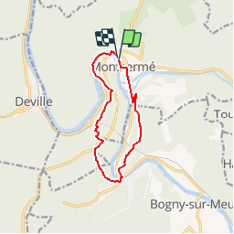

15.3 km | 21 km-effort

User


FREE GPS app for hiking
 SityTrail
IGN / Geographical institutes
SityTrail World
The world is yours!
Trail Walking of 9.7 km to be discovered at Grand Est, Ardennes, Monthermé. This trail is proposed by tracegps.
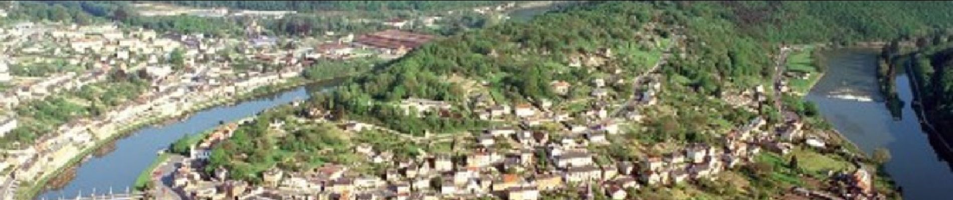
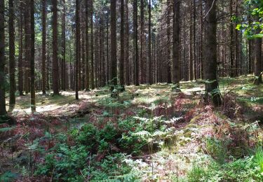
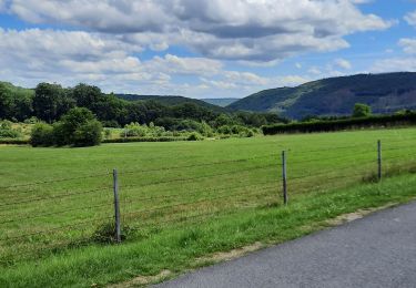
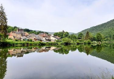
Les Randonnées Thématiques du Comité Régional du Tourisme de Champagne-Ardenne La boucle des 7 Roches Depuis Monthermé et son célèbre méandre de la Meuse, vous partirez à la conquête de magnifiques points de vue cachés dans la profonde forêt ardennaise. Ici, les roches qui sortent de la forêt sont liées aux légendes, dont celle célèbre des 4 fils Aymon que vous découvrirez au détour du chemin.


Walking

Walking

Walking
Walking
Walking
Walking

Walking
Walking
Au pont à droite de Bogny le passage est bouché continuer tous droit pour rejoindre le tracé plus loin
Sentier escarpé du pont de Bogny au bois de l'hermitage. Peut être dangereux par temps de pluie