Trail Walking Martiel - Boucle des dolmens de Martiel - Photo

Boucle des dolmens de Martiel

 tracegps
tracegps

User

© OpenStreetMap contributors
Length
Length
9.4 km
Max alt
Max alt
391 m
Uphill gradient
Uphill gradient
133 m
Km-Effort
Km-Effort  
11.2 km
Min alt
Min alt
335 m
Downhill gradient
Downhill gradient
133 m
Boucle
Boucle
Yes
Creation date :
2014-12-10 00:00:00.0
Updated on :
2014-12-10 00:00:00.0

(1 Reviews)

Walking
Walking
2h00
Difficulty : Medium

Scan this QR Code to open this trail in the SityTrail application

FREE GPS app for hiking

Logo SityTrail SityTrail

IGN / Geographical institutes

Download SityTrail from the App Store Download SityTrail from Google Play

Logo SityTrail SityTrail World

The world is yours!

Download SityTrail from the App Store Download SityTrail from Google Play Download SityTrail on Huawei AppGallery

About

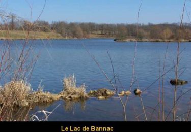
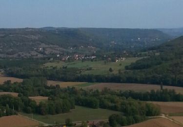
Trail Walking of 9.4 km to be discovered at Occitania, Aveyron, Martiel. This trail is proposed by tracegps.

Description

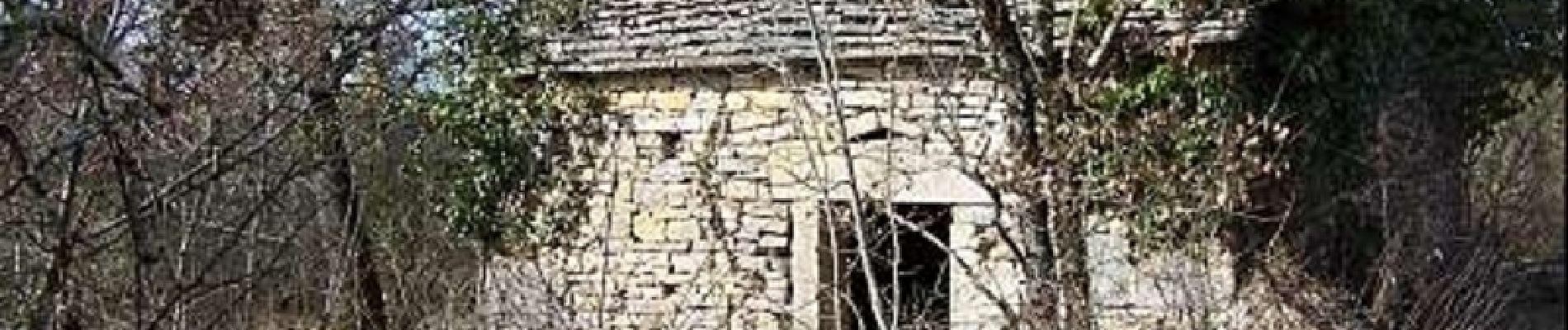
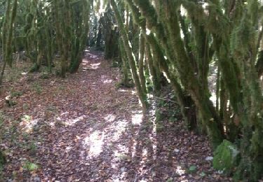
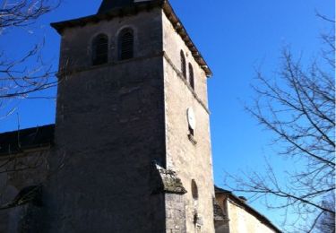
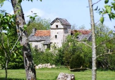
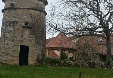
Circuit de randonnée pédestre au balisage jaune avec de nombreux dolmens à voir. Au hameau de Lespinassière, une belle cazelle nous accueille, des maisons typiques avec fours à pain couverts de lauzes ainsi qu'un calvaire sur les ruines d'un petit dolmen (ou sépulture en coffre ?) parsèment ce hameau.

Elevation profile

Photos

Positioning

Country:
France
Region :
Occitania
Department/Province :
Aveyron
Municipality :
Martiel
Location:
Unknown
Start:(UTM)
412639 ; 4917779 (31T) N.

Comments

Please log in to post a review or rate the element


Trop de route, 1 dolmen en écart non visible, 3 dolmens non signalés en écart. A éviter


Trails nearby

Trail Mountain bike Martiel - martiel 52 - Photo
Mountain bike
Gerard_Soulie

Mountain bike

Difficult
(1)
Martiel, Occitania, Aveyron, France
53 km | 66 km-effort
4h 23min
Yes
Trail Walking Martiel - Circuit du Lac de Bannac - Martiel - Photo
Walking
tracegps

Walking

Medium
(1)
Martiel, Occitania, Aveyron, France
21 km | 25 km-effort
5h 30min
Yes
Trail Mountain bike La Capelle-Balaguier - la capelle maroule puyjourdes loule anglars les buis lacapelle - Photo
Mountain bike
Gerard_Soulie

Mountain bike

Medium
La Capelle-Balaguier, Occitania, Aveyron, France
31 km | 40 km-effort
2h 52min
Yes
Trail Mountain bike La Capelle-Balaguier - la capelle anglars estrabols borieangle croix belge saut mounine trep et retour lac - Photo
Mountain bike
Gerard_Soulie

Mountain bike

Medium
La Capelle-Balaguier, Occitania, Aveyron, France
32 km | 40 km-effort
3h 8min
Yes
Trail Walking Laramière - Fonteynous - Tour du lac de Bannac - Photo
Walking
clotioneb

Walking

Very easy
(1)
Laramière, Occitania, Lot, France
4.5 km | 5.2 km-effort
1h 16min
Yes
Trail Walking Laramière - Lac de Bannac - Photo
Walking
clotioneb

Walking

Very easy
Laramière, Occitania, Lot, France
4.2 km | 4.8 km-effort
1h 23min
Yes
Trail Walking La Capelle-Balaguier - Boucle de Lacapelle Balaguier - Photo
Walking
tracegps

Walking

Medium
La Capelle-Balaguier, Occitania, Aveyron, France
14 km | 18.4 km-effort
3h 0min
Yes
Trail Mountain bike La Capelle-Balaguier - VTT La Capelle 31km 750D+(Mag, Chris, Didier,Pascal) 2021-11-16 - Photo
Mountain bike
Levillefranchois

Mountain bike

Easy
La Capelle-Balaguier, Occitania, Aveyron, France
31 km | 39 km-effort
2h 43min
Yes
Trail Mountain bike Martiel - 30 1 16 essai Bournac Dolmens Maroule les noisetiers Bouygues lantouy les buis croix templiers bournac - Photo
Mountain bike
Gerard_Soulie

Mountain bike

Medium
Martiel, Occitania, Aveyron, France
29 km | 35 km-effort
3h 21min
Yes


Close
My subscriptions