


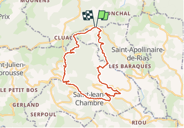
3 janv 2019 source de la Duniere

ajd26
User

Length
17.4 km

Max alt
881 m

Uphill gradient
559 m
Km-Effort
25 km

Min alt
588 m

Downhill gradient
567 m
Boucle
Yes
Creation date :
2019-05-19 18:03:09.979
Updated on :
2020-01-06 18:26:48.664
4h09
Difficulty : Easy

FREE GPS app for hiking
 SityTrail
IGN / Geographical institutes
SityTrail Plus
The world is yours!
About
Trail Walking of 17.4 km to be discovered at Auvergne-Rhône-Alpes, Ardèche, Saint-Apollinaire-de-Rias. This trail is proposed by ajd26.
Description
À 500m du départ, il faut eviter la maison en passant sur la gauche à essayer
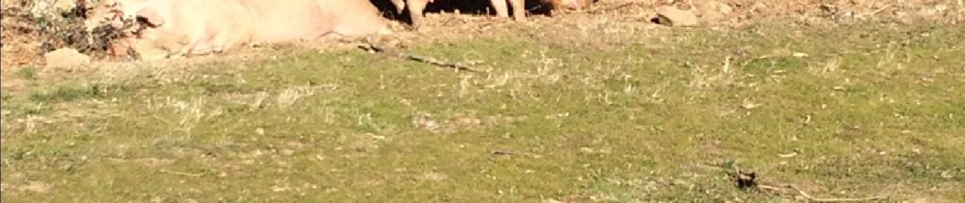
Photos

Positioning
Country:
France
Region :
Auvergne-Rhône-Alpes
Department/Province :
Ardèche
Municipality :
Saint-Apollinaire-de-Rias
Location:
Unknown
Start:(Dec)
Start:(UTM)
623861 ; 4977239 (31T) N.
Comments