


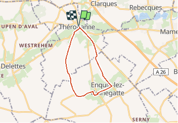

23 km | 26 km-effort

User


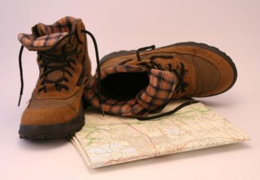
FREE GPS app for hiking
 SityTrail
IGN / Geographical institutes
SityTrail World
The world is yours!
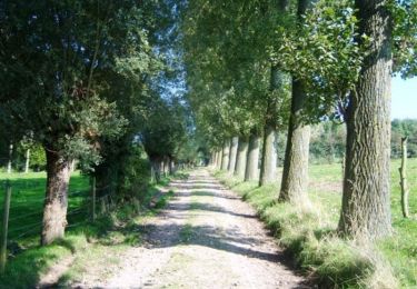
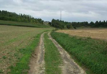
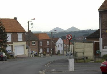
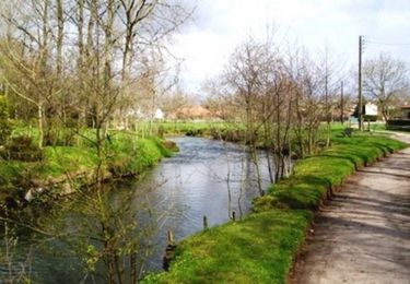
Trail Walking of 9.4 km to be discovered at Hauts-de-France, Pas-de-Calais, Thérouanne. This trail is proposed by tracegps.
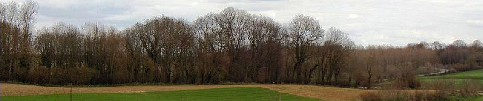
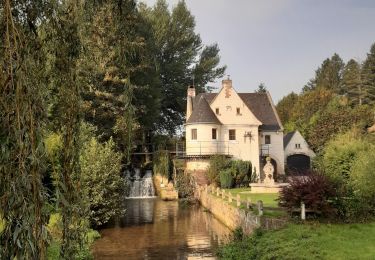
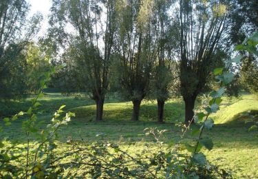
Communauté de Communes de la Morinie. Comme notre nom l'indique, notre territoire trouve son origine dans l'antique peuple gaulois des Morins, qui avaient installé leur capitale à Thérouanne. Son passé historique connu, fait que la ville est le point fort du tourisme local capable de rivaliser avec les centres de Saint-Omer et Aire sur la Lys. Ce passé prestigieux a laissé des traces dans plusieurs communes voisines. Outre ces richesses, le patrimoine naturel tient aussi une place importante. La Communauté de Communes possède un cadre paysager exceptionnel.

Walking
Walking
Walking
Walking
Cycle
Walking
Walking

Walking
Walking