


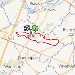

12.9 km | 14.3 km-effort


User


FREE GPS app for hiking
 SityTrail
IGN / Geographical institutes
SityTrail World
The world is yours!
Trail Walking of 9.2 km to be discovered at Hauts-de-France, Pas-de-Calais, Monchy-le-Preux. This trail is proposed by tracegps.
Circuit proposé par la Communauté Urbaine d’Arras et l’Office de Tourisme d’Arras. Départ de la mairie de Monchy-le-Preux. C’est du haut d’une butte en forme de dôme que prend naissance ce circuit. Allez jusqu'à l’église pour voir la statue d’un caribou érigé pour commémorer le sacrifice du régiment de Terre Neuve le 14 avril 1917. Téléchargez la fiche du circuit.


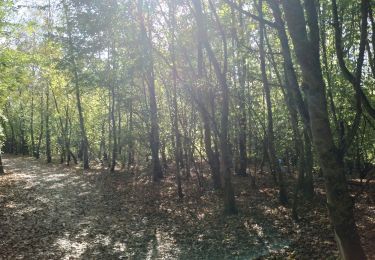
Walking

Walking

Walking

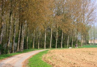
Walking

Walking
Walking

Walking
Walking

Walking
pas vu le caribou!