


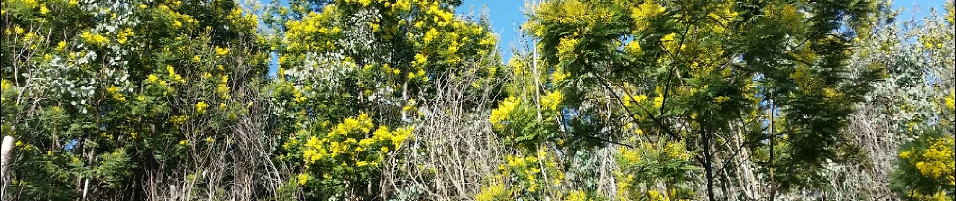
pegomas mimosas

marchev
User
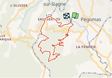

Length
10.8 km

Max alt
304 m

Uphill gradient
480 m
Km-Effort
17.2 km

Min alt
15 m

Downhill gradient
480 m
Boucle
Yes
Creation date :
2019-05-06 10:26:32.942
Updated on :
2019-05-06 10:26:32.942
3h04
Difficulty : Medium

FREE GPS app for hiking
 SityTrail
IGN / Geographical institutes
SityTrail Plus
The world is yours!
About
Trail Walking of 10.8 km to be discovered at Provence-Alpes-Côte d'Azur, Maritime Alps, Pégomas. This trail is proposed by marchev.
Photos


Positioning
Country:
France
Region :
Provence-Alpes-Côte d'Azur
Department/Province :
Maritime Alps
Municipality :
Pégomas
Location:
Unknown
Start:(Dec)
Start:(UTM)
332069 ; 4828602 (32T) N.
Comments