


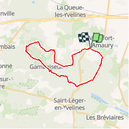

8.5 km | 10.5 km-effort

User


FREE GPS app for hiking
 SityTrail
IGN / Geographical institutes
SityTrail World
The world is yours!
Trail Walking of 23 km to be discovered at Ile-de-France, Yvelines, Montfort-l'Amaury. This trail is proposed by tracegps.
Circuit proposé par le Comité Départemental de Randonnée des Hauts de Seine. Parking départ : Montfort-l’Amaury, étang de la Ville. Descriptif : nb, Montfort-l'Amaury, bois d’Enfer, carrefour de la Noue, Carrefour des Longues-Mares, Carrefour de Mandreuse, poteau du Roi, les Haizettes , la Butte-Rouge, carrefour du Haut-Beaussart, la Grande-Borne, Poteau de l’Etang-Neuf .... GR22, Gambaiseuil (14 km), chêne de l’Ascension .... GR1, carrefour des Maurus, Montfort l’Amaury. Des sentiers ont pu être modifiés depuis la dernière validation et les itinéraires proposés n’engagent pas la responsabilité du Comité. Signalez-nous les modifications rencontrées pour mise à jour de la randothèque.


Walking
Walking

Walking
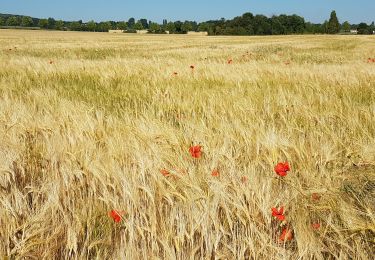
![Trail Walking Montfort-l'Amaury - Yvelines_[Rando_Journée]_Montfort=>Les Mesnuls=>Autour_de_Montfort - Tronçon 1 - Photo](https://media.geolcdn.com/t/375/260/ext.jpg?maxdim=2&url=https%3A%2F%2Fmedia.geolcdn.com%2Ff%2F9a77b4d0-afa4-42cb-beea-4a17fa8cb8c3.jpg)
Walking
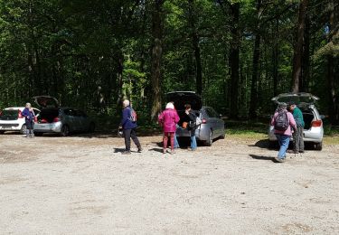
![Trail Walking Montfort-l'Amaury - Yvelines_[Rando_Journée]_Montfort=>Les Mesnuls=>Autour_de_Montfort - Tronçon 2 - Photo](https://media.geolcdn.com/t/375/260/ext.jpg?maxdim=2&url=https%3A%2F%2Fmedia.geolcdn.com%2Ff%2F3a031c20-1fc4-4232-b97e-93470db48f02.jpg)
Walking
Walking
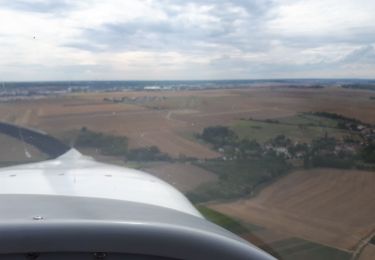
Plane
Walking
Walking