Trail Walking Laon - La Butte de Laon - L'eau de bas en haut - Photo

La Butte de Laon - L'eau de bas en haut

 tracegps
tracegps

User

© OpenStreetMap contributors
Length
Length
5.4 km
Max alt
Max alt
178 m
Uphill gradient
Uphill gradient
127 m
Km-Effort
Km-Effort  
7.1 km
Min alt
Min alt
80 m
Downhill gradient
Downhill gradient
127 m
Boucle
Boucle
Yes
Creation date :
2014-12-10 00:00:00.0
Updated on :
2014-12-10 00:00:00.0

(1 Reviews)

Walking
Walking
2h00
Difficulty : Medium

Scan this QR Code to open this trail in the SityTrail application

FREE GPS app for hiking

Logo SityTrail SityTrail

IGN / Geographical institutes

Download SityTrail from the App Store Download SityTrail from Google Play

Logo SityTrail SityTrail Plus

The world is yours!

Download SityTrail from the App Store Download SityTrail from Google Play Download SityTrail on Huawei AppGallery

About

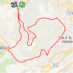
Trail Walking of 5.4 km to be discovered at Hauts-de-France, Aisne, Laon. This trail is proposed by tracegps.

Description

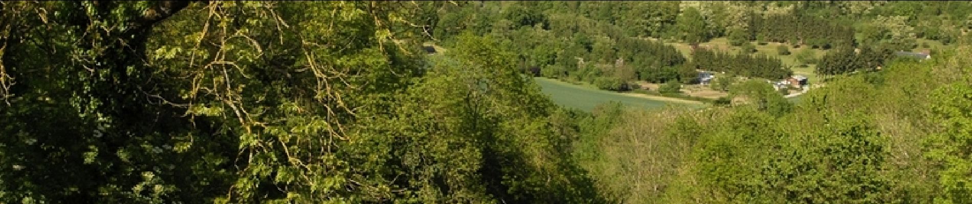
Surnommée la « Montagne Couronnée », la cité médiévale de Laon regorge d’un patrimoine insolite. En effet, fontaines, lavoirs et abreuvoirs recueillent l’eau de la multitude de sources qui naissent de la butte. Découvrez ce patrimoine étonnant et inattendu. Retrouvez d'autres informations ICI.

Elevation profile

Photos

Positioning

Country:
France
Region :
Hauts-de-France
Department/Province :
Aisne
Municipality :
Laon
Location:
Unknown
Start:(UTM)
544107 ; 5489982 (31U) N.

Comments

Please log in to post a review or rate the element


Close
My subscriptions