


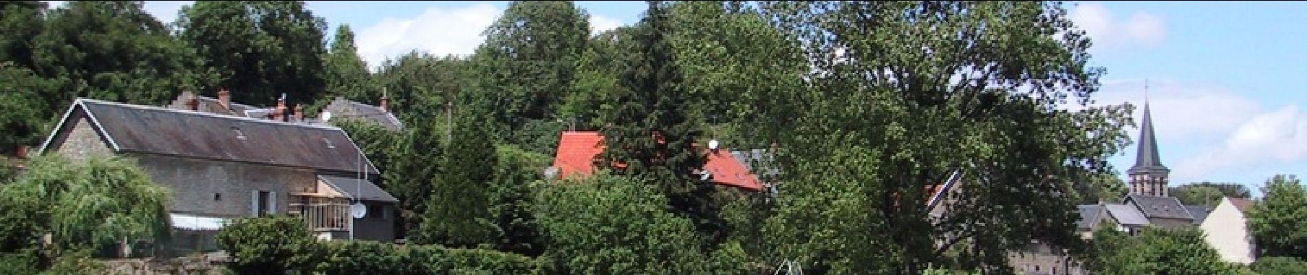
Pont Saint Mard - La Butte du Plain Chatel

tracegps
User
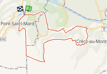


2h30
Difficulty : Difficult

FREE GPS app for hiking
 SityTrail
IGN / Geographical institutes
SityTrail Plus
The world is yours!
About
Trail Walking of 10.1 km to be discovered at Hauts-de-France, Aisne, Pont-Saint-Mard. This trail is proposed by tracegps.
Description
Entre les hauteurs cultivées du plateau soissonnais et les versants boisés de la vallée de l'Ailette, ce parcours offre une multitude de panoramas ouvrant sur un paysage contrasté. Retrouvez toutes les informations nécessaires ICI.
Photos

Positioning
Comments