


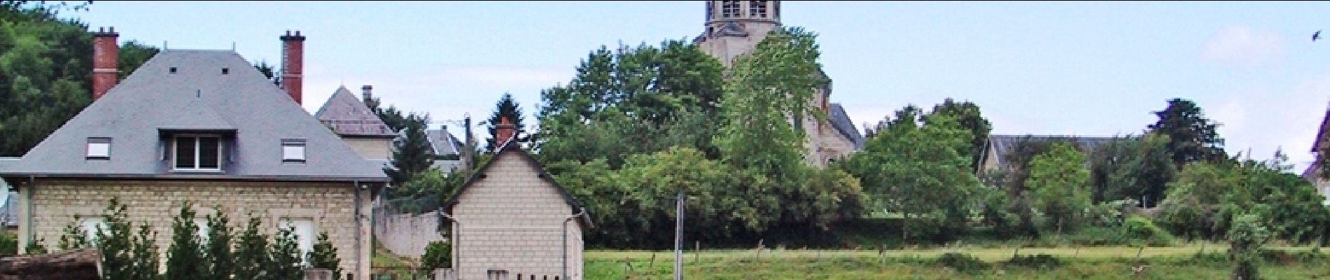
Le Mont de Leuilly sous Coucy

tracegps
User


2h00
Difficulty : Medium

FREE GPS app for hiking
 SityTrail
IGN / Geographical institutes
SityTrail Plus
The world is yours!
About
Trail Walking of 6.3 km to be discovered at Hauts-de-France, Aisne, Leuilly-sous-Coucy. This trail is proposed by tracegps.
Description
Leuilly-sous-Coucy recèle un beau petit patrimoine avec notamment son ancien moulin à eau et son église Saint-Rémi. Découvrez-le sans plus attendre en empruntant ce petit parcours pittoresque. Retrouvez toutes les informations nécessaires ICI.
Photos

Positioning
Comments