


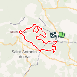
20190130 Mentone Est rando réelle.

Sugg
User

Length
17.4 km

Max alt
379 m

Uphill gradient
319 m
Km-Effort
22 km

Min alt
240 m

Downhill gradient
319 m
Boucle
Yes
Creation date :
2019-03-22 16:57:35.083
Updated on :
2019-03-22 16:57:35.083
4h40
Difficulty : Easy

FREE GPS app for hiking
 SityTrail
IGN / Geographical institutes
SityTrail Plus
The world is yours!
About
Trail Walking of 17.4 km to be discovered at Provence-Alpes-Côte d'Azur, Var, Lorgues. This trail is proposed by Sugg.
Description
Rando RF du 30-01-19 guidée par Fernand.
19 randonneurs( euses ).
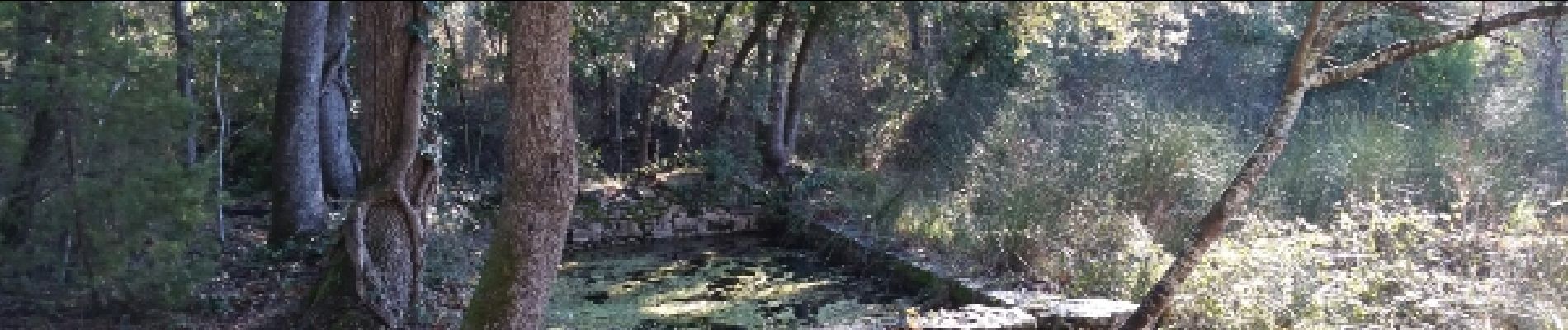
Photos


Positioning
Country:
France
Region :
Provence-Alpes-Côte d'Azur
Department/Province :
Var
Municipality :
Lorgues
Location:
Unknown
Start:(Dec)
Start:(UTM)
283942 ; 4821722 (32T) N.
Comments