


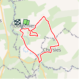

9.9 km | 11.2 km-effort

User


FREE GPS app for hiking
 SityTrail
IGN / Geographical institutes
SityTrail World
The world is yours!
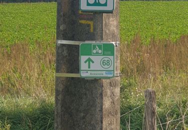
Trail Walking of 6.5 km to be discovered at Hauts-de-France, Nord, Obrechies. This trail is proposed by tracegps.
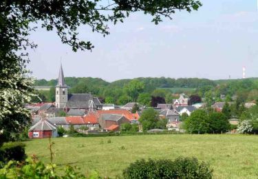
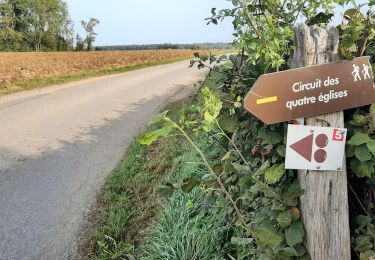
Circuit proposé par le Comité Départemental du Tourisme du Nord. Fiche n° 15 de la pochette « Patrimoine sans frontière en Val de Sambre, Hainaut Wallon et Fagne de Solre ». Promenade paisible dans le paysage bocager des vallées la Solre et la Carnoye, qui laisse découvrir les villages, typiques de l’Avesnois, de Choisies et Obrechies. Retrouvez cette randonnée sur le site du Comité Départemental du Tourisme du Nord.


Walking

Walking
Walking
Walking
Cycle

Walking
Walking

Walking

Walking
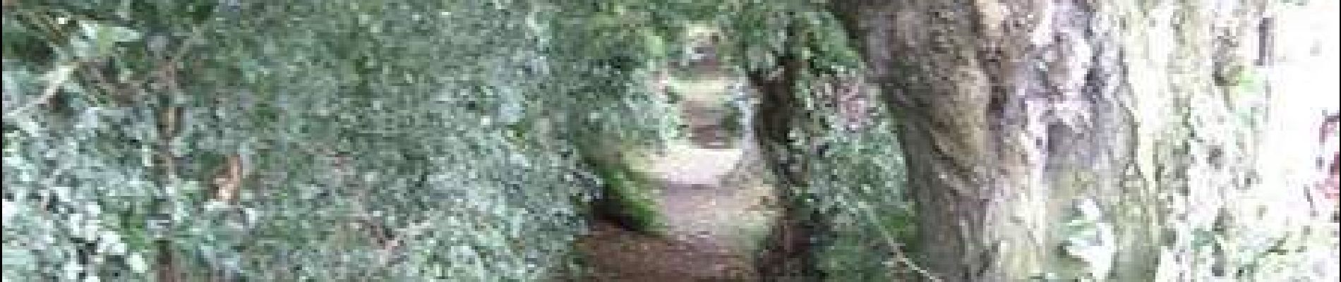
rando faite en janvier 2024, chemin boueux mais belles perspectives sur le chemin entre vallons de la thure
tres belle rando