


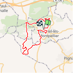


10.7 km | 13.2 km-effort


User


FREE GPS app for hiking
 SityTrail
IGN / Geographical institutes
SityTrail World
The world is yours!
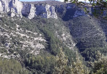
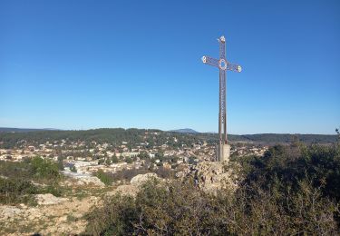
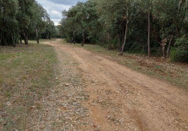
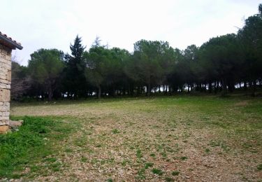
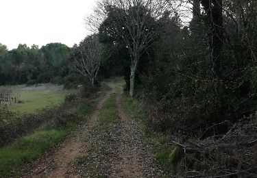
Trail Walking of 14.2 km to be discovered at Occitania, Hérault, Murviel-lès-Montpellier. This trail is proposed by stefanifrancoise.

Walking
Walking
Walking
Walking
Walking
Walking
Walking
Walking

Walking