


9.2 km | 12.6 km-effort


User


FREE GPS app for hiking
 SityTrail
IGN / Geographical institutes
SityTrail World
The world is yours!
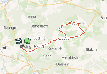
Trail Cycle of 29 km to be discovered at Grand Est, Moselle, Buding. This trail is proposed by tracegps.
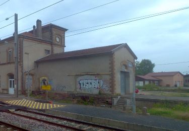
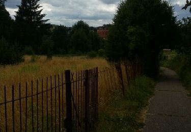
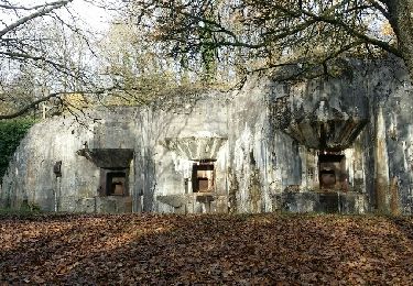
30 km de petites routes départementales ou communales sont au programme de ce circuit qui offre de nombreuses curiosités. Parmi elles, le moulin de Buding au bord de la rivière Canner dont les mécanismes restaurés et réactionnés dans les règles de l’art se visitent sans modération. À quelques kilomètres de là, le site du Hackenberg mérite une visite. L’ouvrage de la Ligne Maginot y renferme les installations de l’époque en parfait état de marche (tourelles d’artillerie, canons sous casemate), ainsi qu’un musée de la guerre 39-45. Les trajets à l'intérieur de l'ouvrage s’effectuent en petit train. Pour les plus aguerris, le circuit se poursuit sur de très agréables petites routes qui offrent de beaux panoramas. Il est plutôt destiné à un public entraîné.


On foot
Walking
Walking
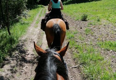
Horseback riding
Walking
Mountain bike

Walking

Running

Walking