


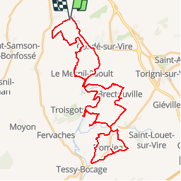


44 km | 52 km-effort

User


FREE GPS app for hiking
 SityTrail
IGN / Geographical institutes
SityTrail World
The world is yours!
Trail Equestrian of 44 km to be discovered at Normandy, Manche, Bourgvallées. This trail is proposed by tracegps.
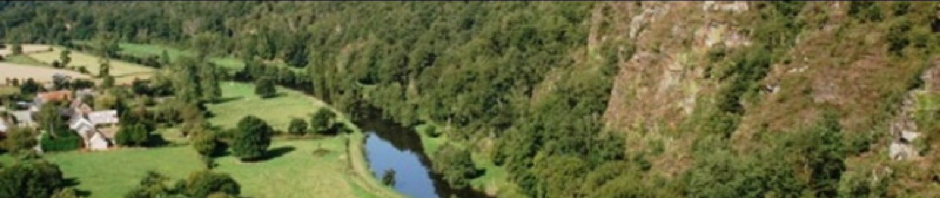
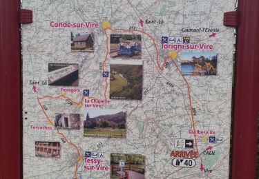
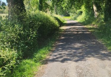
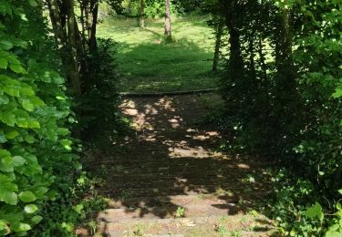
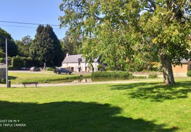
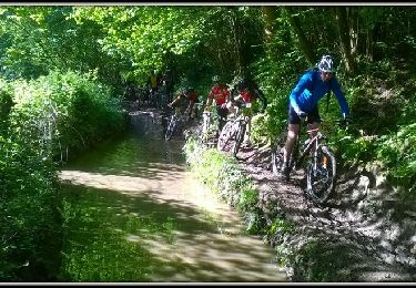
Un beau circuit « à la carte », avec 3 boucles qui peuvent être faites indépendamment les unes des autres. Parcourir les 3 la même journée est possible. Très beau circuit varié, qui suit le cours de la Vire, fleuve côtier qui arrive des confins de la Manche, du Calvados et de l'Orne. Après être passé à Saint-Lô, il passe par ici avant de se jeter dans la Manche, dans la baie des Veys. La navigation importante qui eut cours durant tout le XIXe siècle a laissé de beaux aménagements qui ponctuent ce circuit aménagé pour les randonneurs. Plus de détails sur le circuit (balisage, difficulté…), les points remarquables à proximité et téléchargements sur Manche Tourisme – Loisirs Randonnée GPS.

Mountain bike
Walking
Walking
Walking
Walking
Mountain bike

Mountain bike
Walking