


CHABANON Fanget Negrôn

RobinMicheline
User GUIDE

Length
8.1 km

Max alt
1716 m

Uphill gradient
184 m
Km-Effort
10.6 km

Min alt
1594 m

Downhill gradient
196 m
Boucle
No
Creation date :
2019-05-16 07:39:39.39
Updated on :
2020-01-22 17:53:16.212
4h07
Difficulty : Unknown

FREE GPS app for hiking
 SityTrail
IGN / Geographical institutes
SityTrail Plus
The world is yours!
About
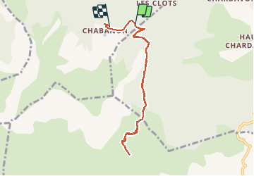
Trail Walking of 8.1 km to be discovered at Provence-Alpes-Côte d'Azur, Alpes-de-Haute-Provence, Selonnet. This trail is proposed by RobinMicheline.
Description
Raquettes 170 mns z60 M devel 9 kms oui
Positioning
Country:
France
Region :
Provence-Alpes-Côte d'Azur
Department/Province :
Alpes-de-Haute-Provence
Municipality :
Selonnet
Location:
Unknown
Start:(Dec)
Start:(UTM)
284981 ; 4913977 (32T) N.
Comments